Transport Functions
Rail
Road
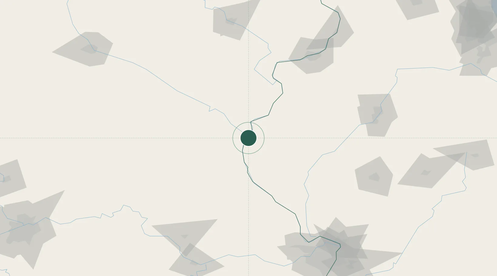
Hub Profile
Place type
Populated place
Region
Illinois
Population
1,551
Time zone
America/Chicago
Elevation
177 m
Location
Nearby Logistics Neighbours
Cities
- 1Alexandria1 km
- 2Hamilton9 km
- 3La Grange34 km
- 4Franklin36 km
- 5Plymouth44 km
Ports
- 1Calumet Harbor363 km
- 2Chicago364 km
- 3Indiana Harbor366 km
- 4Wilmette368 km
- 5Great Lakes371 km
Airports
Trade Zones
- 1FTZ No. 055 Burlington58 km
- 2FTZ No. 114 Peoria161 km
- 3FTZ No. 175 Cedar Rapids182 km
- 4FTZ No. 102 St. Louis County200 km
- 5FTZ No. 031 Granite City208 km
DatabookThe Record of Consolidated Knowledge
United States beyond logistics?