UN/LOCODE hub · United States
USZDX
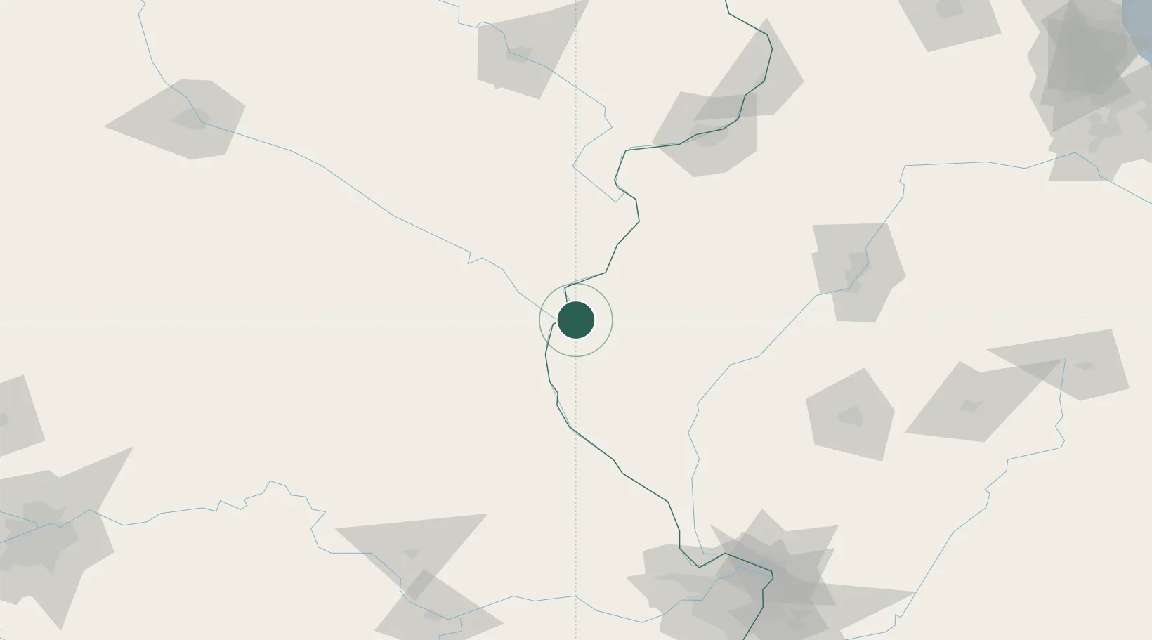
Hamilton
40.3833°, -91.3333°
2,853
Population
1
Transport functions
Transport Functions
Multimodal
Hub Profile
Place type
Populated place
Region
Illinois
Population
2,853
Time zone
America/Chicago
Elevation
196 m
Location
Nearby Logistics Neighbours
Cities
- 1Warsaw9 km
- 2Alexandria11 km
- 3Franklin35 km
- 4Plymouth37 km
- 5La Grange40 km
Ports
- 1Calumet Harbor353 km
- 2Chicago354 km
- 3Indiana Harbor357 km
- 4Wilmette359 km
- 5Great Lakes362 km
Airports
Trade Zones
- 1FTZ No. 055 Burlington51 km
- 2FTZ No. 114 Peoria151 km
- 3FTZ No. 175 Cedar Rapids180 km
- 4FTZ No. 102 St. Louis County201 km
- 5FTZ No. 245 Decatur202 km
DatabookThe Record of Consolidated Knowledge
United States beyond logistics?