Transport Functions
Port
Rail
Road
Multimodal
Hub Profile
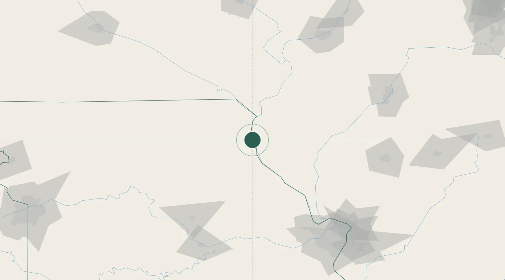
Place type
Populated place
Region
Missouri
Population
939
Time zone
America/Chicago
Elevation
149 m
Location
Nearby Logistics Neighbours
Cities
- 1Marblehead27 km
- 2Palmyra30 km
- 3Columbus31 km
- 4Alexandria34 km
- 5Warsaw34 km
Ports
- 1Calumet Harbor384 km
- 2Chicago386 km
- 3Indiana Harbor386 km
- 4Gary391 km
- 5Wilmette392 km
Airports
Trade Zones
- 1FTZ No. 055 Burlington91 km
- 2FTZ No. 102 St. Louis County171 km
- 3FTZ No. 114 Peoria177 km
- 4FTZ No. 031 Granite City183 km
- 5FTZ No. 245 Decatur209 km
DatabookThe Record of Consolidated Knowledge
United States beyond logistics?