Transport Functions
Multimodal
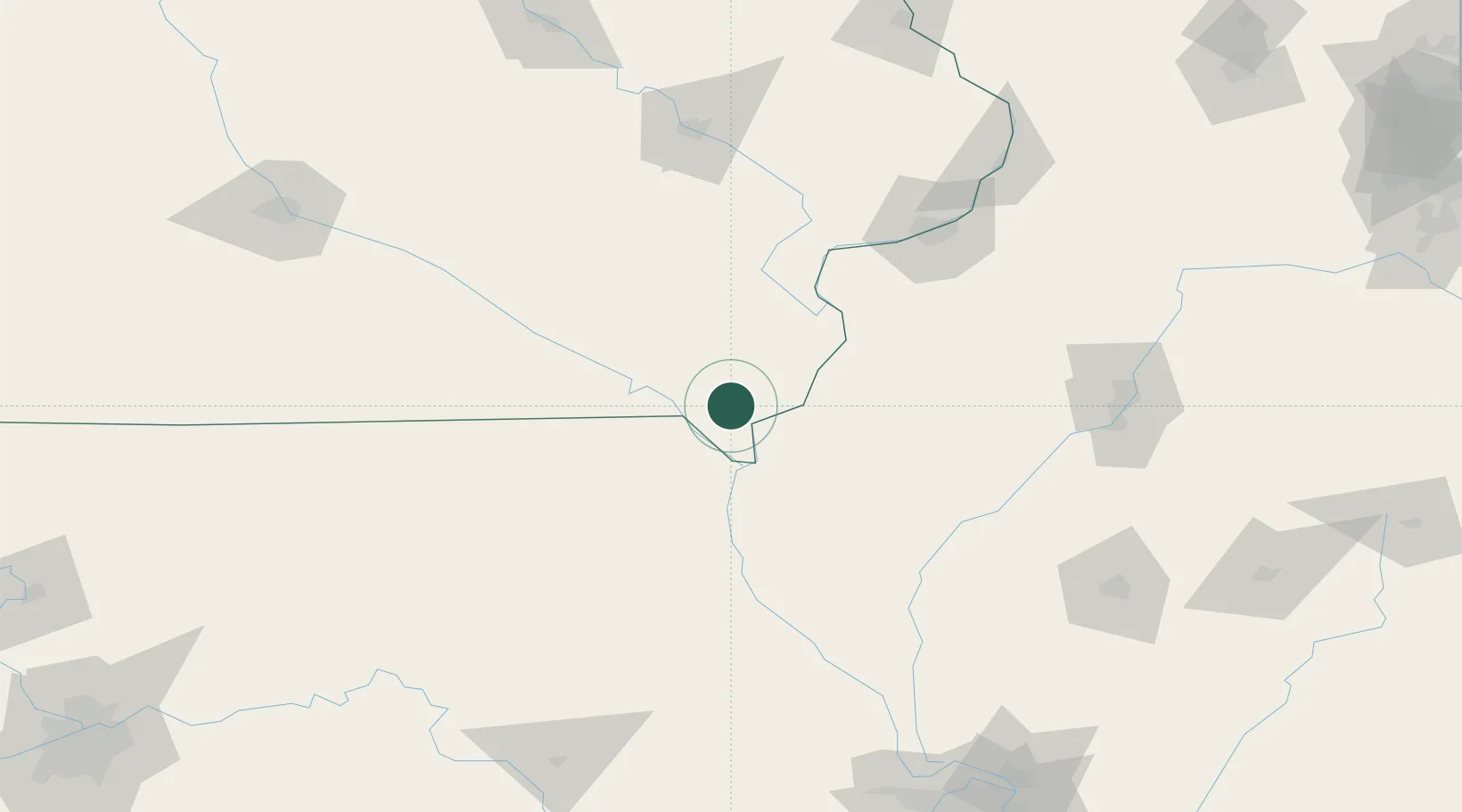
Hub Profile
Place type
Populated place
Region
Iowa
Population
139
Time zone
America/Chicago
Elevation
212 m
Location
Nearby Logistics Neighbours
Cities
- 1Houghton16 km
- 2Bonaparte26 km
- 3New London31 km
- 4West Burlington34 km
- 5Hamilton35 km
Ports
- 1Chicago353 km
- 2Calumet Harbor354 km
- 3Wilmette355 km
- 4Great Lakes355 km
- 5Indiana Harbor358 km
Airports
Trade Zones
- 1FTZ No. 055 Burlington37 km
- 2FTZ No. 175 Cedar Rapids147 km
- 3FTZ No. 114 Peoria161 km
- 4FTZ No. 271 Jo-Daviess and Carroll Counties211 km
- 5FTZ No. 107 Polk County216 km
DatabookThe Record of Consolidated Knowledge
United States beyond logistics?