Transport Functions
Rail
Road
Hub Profile
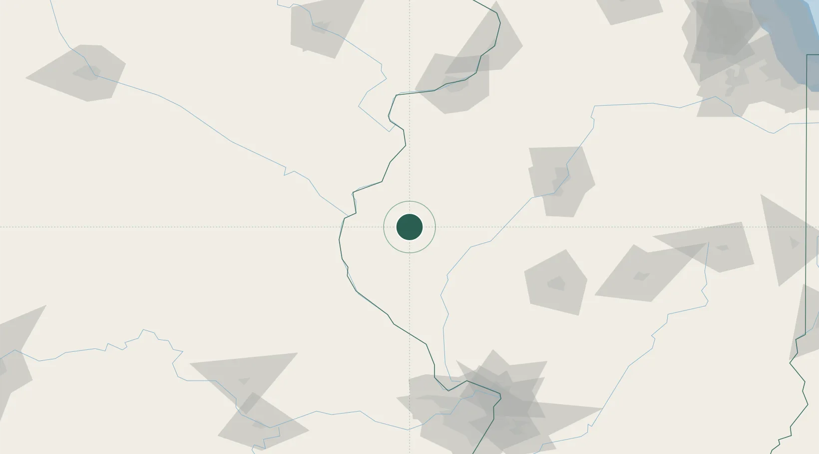
Place type
Populated place
Region
Illinois
Population
485
Time zone
America/Chicago
Elevation
198 m
Location
Nearby Logistics Neighbours
Cities
- 1Fargo36 km
- 2Mount Sterling36 km
- 3Rushville36 km
- 4Hamilton37 km
- 5Columbus39 km
Ports
- 1Calumet Harbor328 km
- 2Chicago330 km
- 3Indiana Harbor330 km
- 4Gary335 km
- 5Wilmette337 km
Airports
Trade Zones
- 1FTZ No. 055 Burlington61 km
- 2FTZ No. 114 Peoria121 km
- 3FTZ No. 245 Decatur165 km
- 4FTZ No. 031 Granite City182 km
- 5FTZ No. 102 St. Louis County183 km
DatabookThe Record of Consolidated Knowledge
United States beyond logistics?