UN/LOCODE hub · United States
USAXY
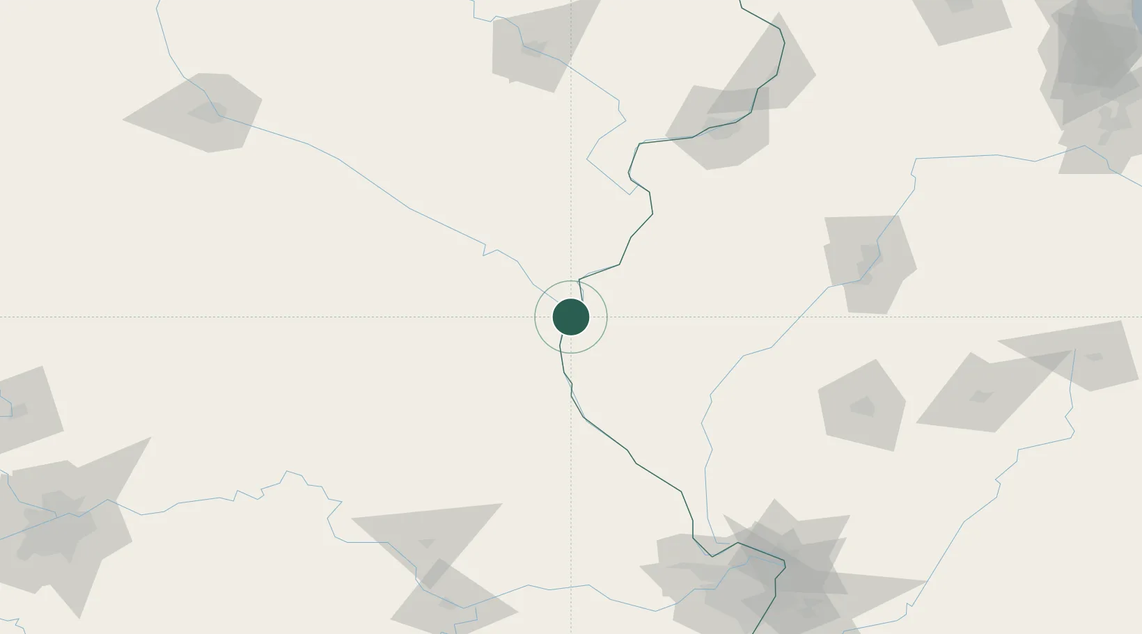
Alexandria
40.3500°, -91.4500°
153
Population
2
Transport functions
Transport Functions
Rail
Road
Hub Profile
Place type
Populated place
Region
Missouri
Population
153
Time zone
America/Chicago
Elevation
149 m
Location
Nearby Logistics Neighbours
Ports
- 1Calumet Harbor364 km
- 2Chicago365 km
- 3Indiana Harbor367 km
- 4Wilmette369 km
- 5Great Lakes372 km
Airports
Trade Zones
- 1FTZ No. 055 Burlington59 km
- 2FTZ No. 114 Peoria162 km
- 3FTZ No. 175 Cedar Rapids182 km
- 4FTZ No. 102 St. Louis County200 km
- 5FTZ No. 031 Granite City209 km
DatabookThe Record of Consolidated Knowledge
United States beyond logistics?