UN/LOCODE hub · United States
USWXC
White Cloud
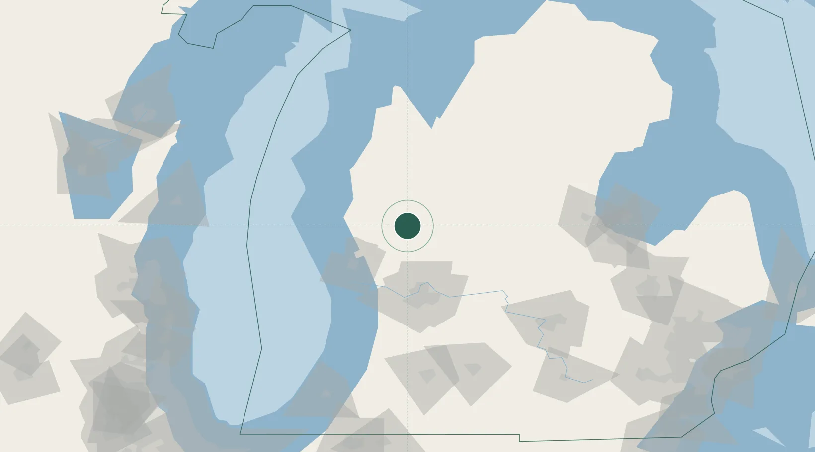
43.5500°, -85.7667°
1,383
Population
2
Transport functions
Transport Functions
Road
Multimodal
Hub Profile
Place type
Provincial seat
Region
Michigan
Population
1,383
Time zone
America/Detroit
Elevation
266 m
Location
Nearby Logistics Neighbours
Cities
- 1Howard City31 km
- 2Kent City37 km
- 3Baldwin38 km
- 4Twin Lake38 km
- 5Cedar Springs41 km
Ports
- 1White Lake51 km
- 2Muskegon54 km
- 3Grand Haven66 km
- 4Ludington71 km
- 5Manistee89 km
Airports
Trade Zones
DatabookThe Record of Consolidated Knowledge
United States beyond logistics?