UN/LOCODE hub · United States
USZIT
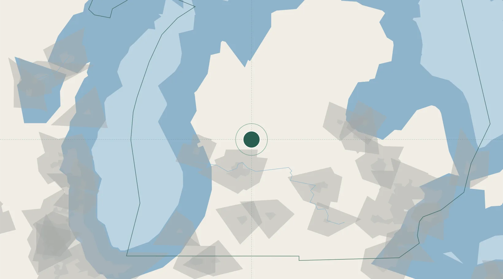
Howard City
43.3833°, -85.4667°
1,792
Population
1
Transport functions
Transport Functions
Multimodal
Hub Profile
Place type
Populated place
Region
Michigan
Population
1,792
Time zone
America/Detroit
Elevation
268 m
Location
Nearby Logistics Neighbours
Cities
- 1Cedar Springs20 km
- 2Kent City30 km
- 3White Cloud31 km
- 4Mecosta33 km
- 5Edmore35 km
Ports
- 1Muskegon67 km
- 2White Lake71 km
- 3Grand Haven71 km
- 4Holland86 km
- 5Ludington101 km
Airports
Trade Zones
DatabookThe Record of Consolidated Knowledge
United States beyond logistics?