Transport Functions
Rail
Road
Multimodal
Hub Profile
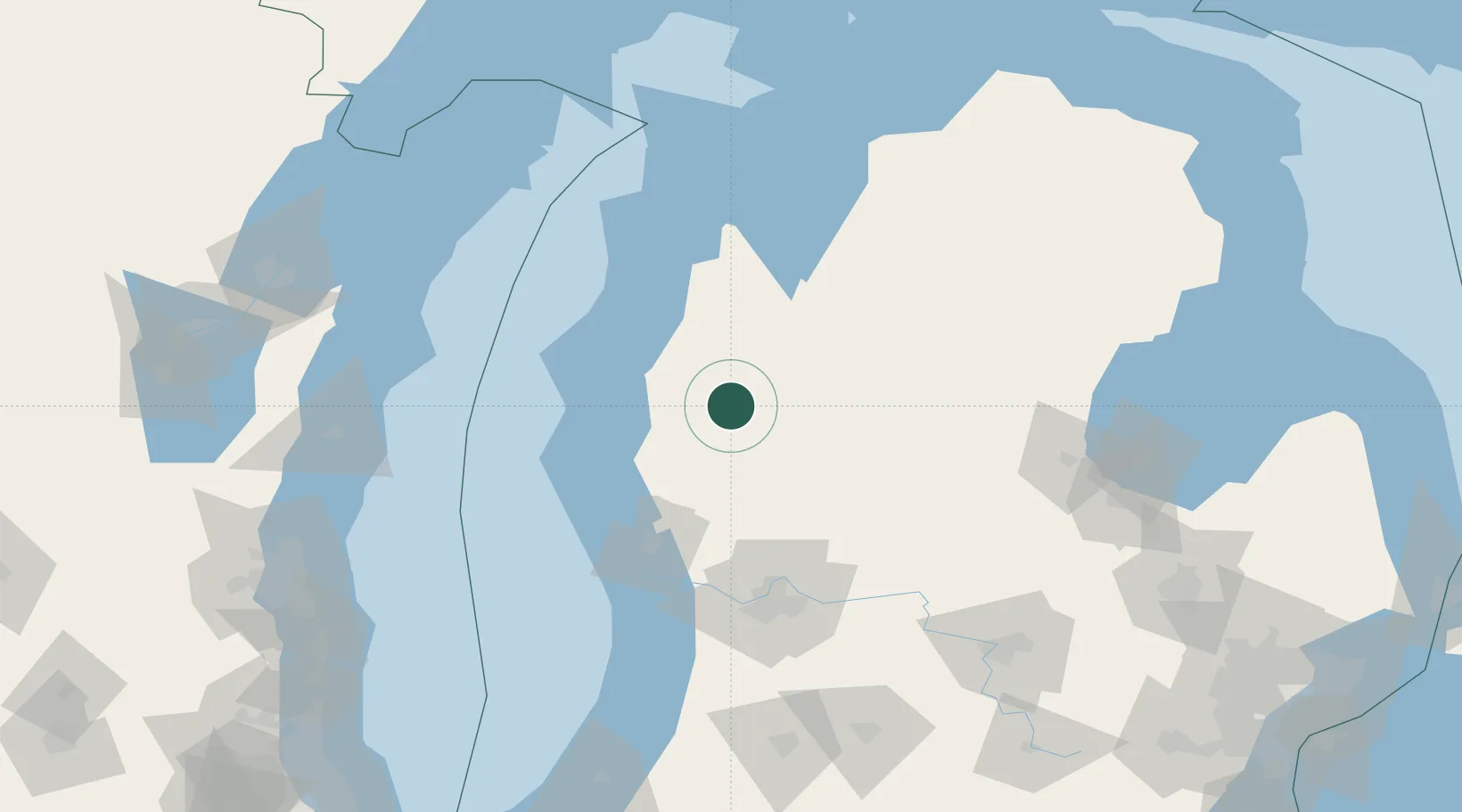
Place type
Provincial seat
Region
Michigan
Population
1,159
Time zone
America/Detroit
Elevation
256 m
Location
Nearby Logistics Neighbours
Cities
- 1White Cloud38 km
- 2Pentwater47 km
- 3Evart48 km
- 4Shelby52 km
- 5New Era54 km
Ports
- 1Ludington49 km
- 2Manistee55 km
- 3White Lake69 km
- 4Muskegon80 km
- 5Frankfort89 km
Airports
Trade Zones
DatabookThe Record of Consolidated Knowledge
United States beyond logistics?