UN/LOCODE hub · United States
USTW2
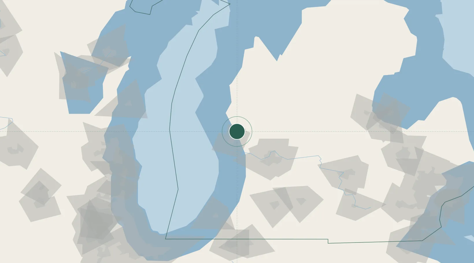
Twin Lake
43.3500°, -86.1500°
1,720
Population
1
Transport functions
Transport Functions
Port
Hub Profile
Place type
Populated place
Region
Michigan
Population
1,720
Time zone
America/Detroit
Elevation
209 m
Location
Nearby Logistics Neighbours
Cities
- 1Muskegon16 km
- 2Rothbury23 km
- 3Norton Shores24 km
- 4New Era27 km
- 5Spring Lake32 km
Ports
- 1Muskegon16 km
- 2White Lake17 km
- 3Grand Haven32 km
- 4Holland63 km
- 5Ludington71 km
Airports
Trade Zones
- 1FTZ No. 189 Kent Ottawa/Muskegon Counties17 km
- 2FTZ No. 019 Omaha49 km
- 3FTZ No. 101 Clinton County123 km
- 4FTZ No. 043 Battle Creek133 km
- 5FTZ No. 041 Milwaukee162 km
DatabookThe Record of Consolidated Knowledge
United States beyond logistics?