UN/LOCODE hub · United States
USER6
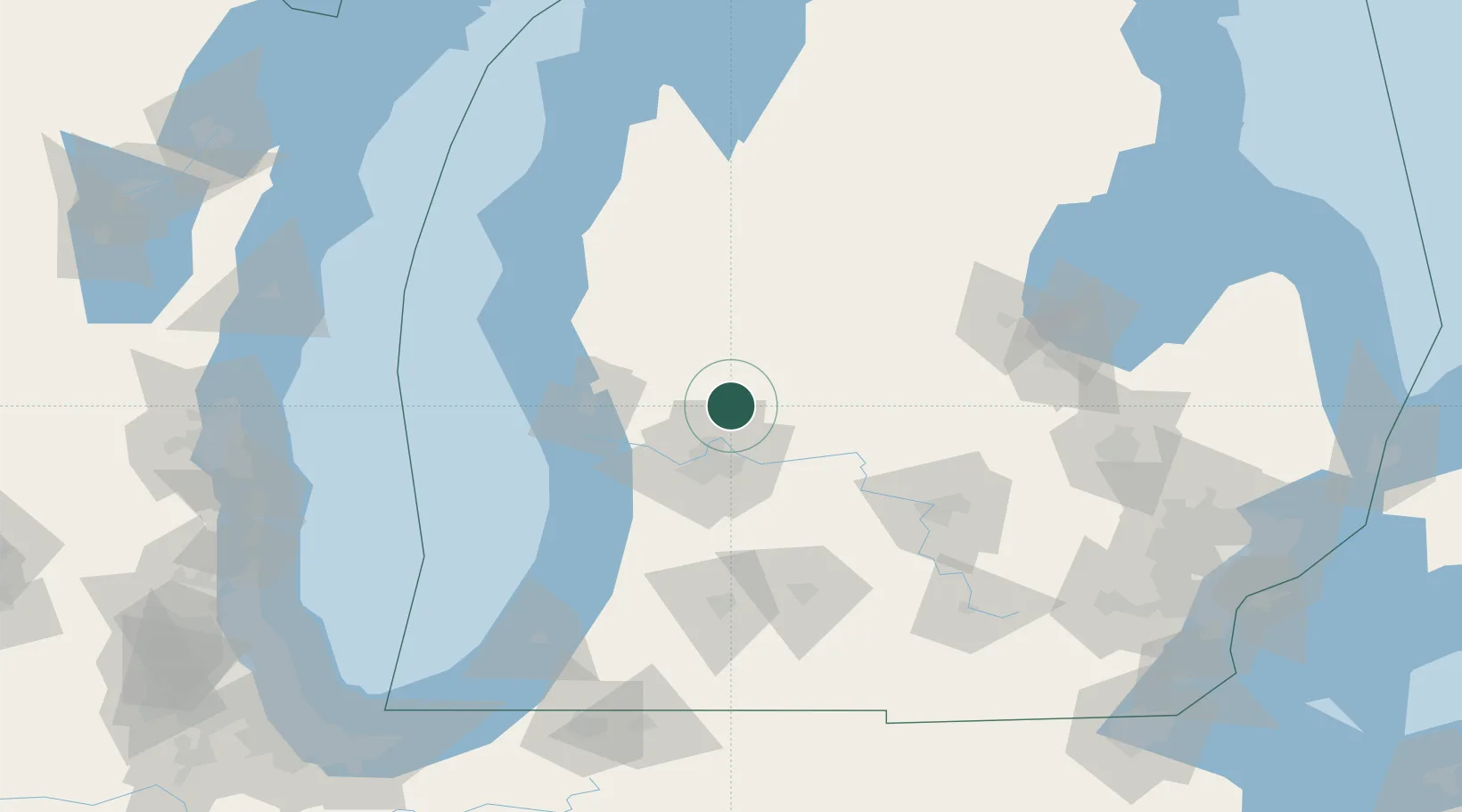
Cedar Springs
43.2167°, -85.5500°
3,624
Population
1
Transport functions
Transport Functions
Multimodal
Hub Profile
Place type
Populated place
Region
Michigan
Population
3,624
Time zone
America/Detroit
Elevation
261 m
Location
Nearby Logistics Neighbours
Cities
- 1Kent City16 km
- 2Belmont17 km
- 3Howard City20 km
- 4Comstock Park23 km
- 5Marne30 km
Ports
- 1Grand Haven58 km
- 2Muskegon58 km
- 3White Lake67 km
- 4Holland68 km
- 5South Haven109 km
Airports
Trade Zones
DatabookThe Record of Consolidated Knowledge
United States beyond logistics?