Transport Functions
Road
Multimodal
Hub Profile
Place type
Populated place
Region
Illinois
Population
329
Time zone
America/Chicago
Elevation
236 m
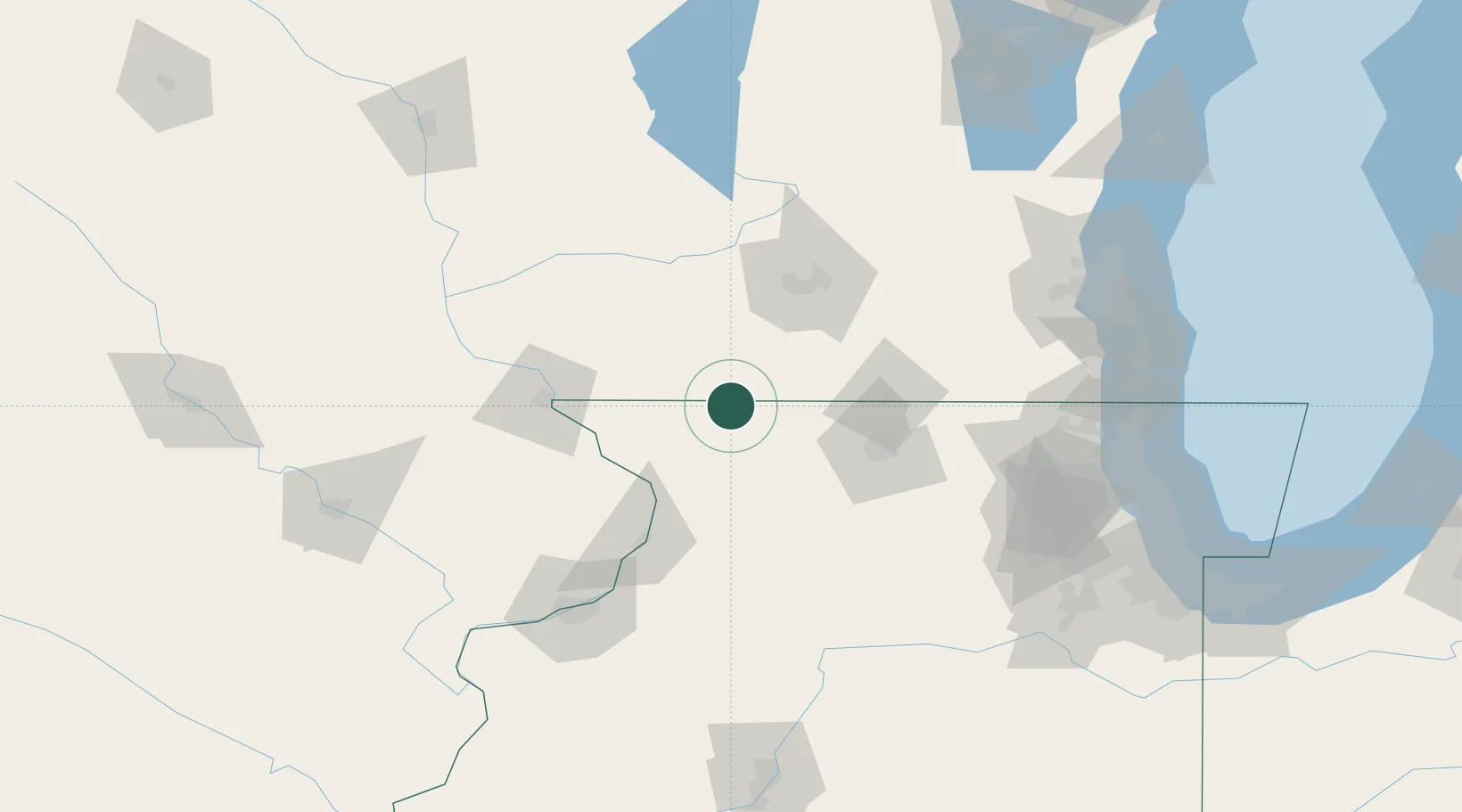
Location
Nearby Logistics Neighbours
Cities
- 1Orangeville11 km
- 2Dakota25 km
- 3Juda26 km
- 4Rock City28 km
- 5Darlington33 km
Ports
- 1Great Lakes161 km
- 2Kenosha162 km
- 3Waukegan162 km
- 4Racine166 km
- 5Milwaukee167 km
Airports
Trade Zones
DatabookThe Record of Consolidated Knowledge
United States beyond logistics?