UN/LOCODE hub · United States
USWR3
West Portsmouth
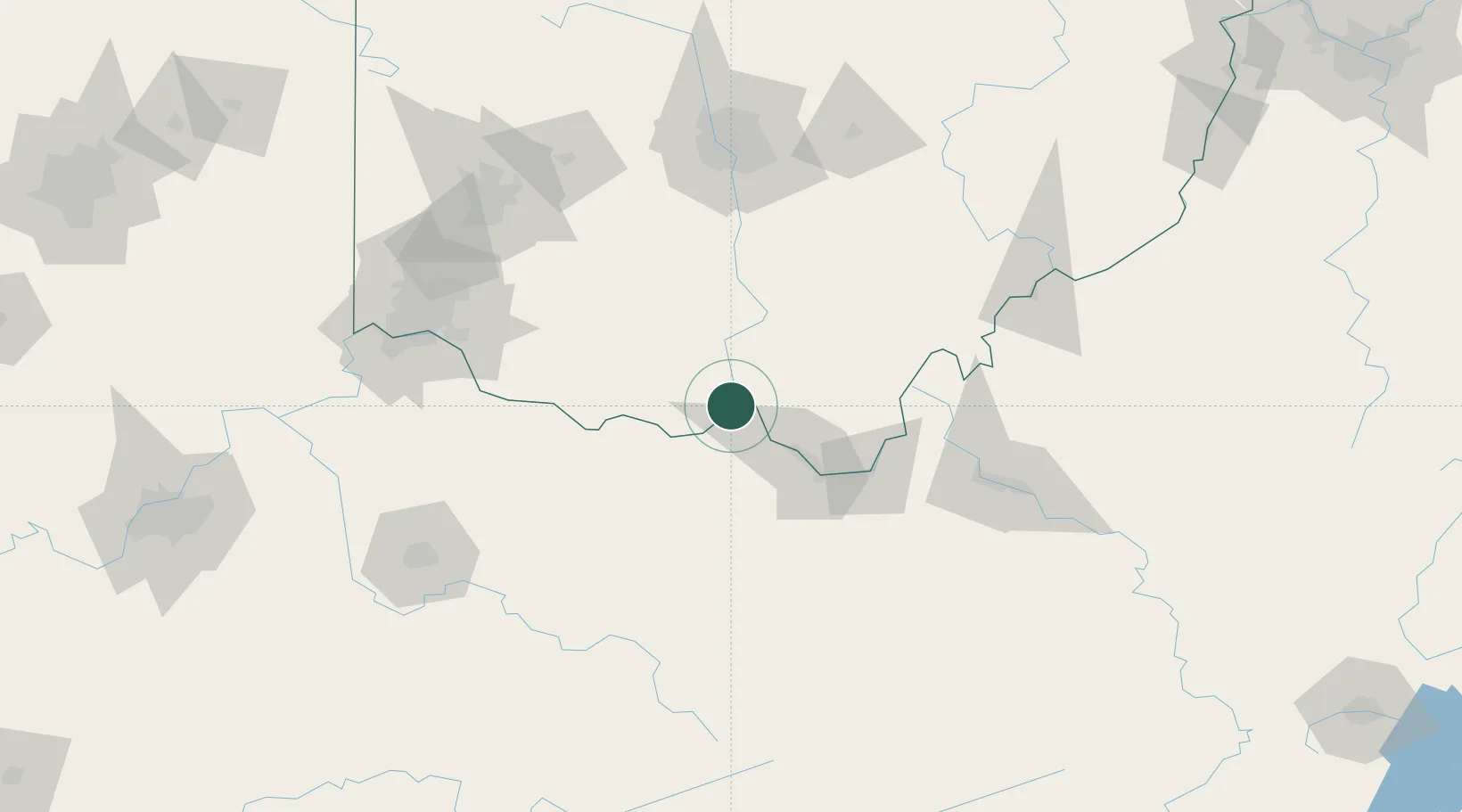
38.7500°, -83.0167°
3,149
Population
1
Transport functions
Transport Functions
Port
Hub Profile
Place type
Populated place
Region
Ohio
Population
3,149
Time zone
America/New_York
Elevation
188 m
Location
Nearby Logistics Neighbours
Cities
- 1Franklin Furnace21 km
- 2Greenup27 km
- 3Vanceburg31 km
- 4Wurtland31 km
- 5Beaver34 km
Ports
- 1Huron297 km
- 2Sandusky301 km
- 3Vermilion304 km
- 4Port Clinton308 km
- 5Lorain310 km
Airports
Trade Zones
- 1FTZ No. 054 Clinton County101 km
- 2FTZ No. 138 Franklin County119 km
- 3FTZ No. 229 Charleston122 km
- 4FTZ No. 046 CIncinnati135 km
- 5FTZ No. 100 Dayton160 km
DatabookThe Record of Consolidated Knowledge
United States beyond logistics?