Medium airport · United States
Chandler FieldKAXN
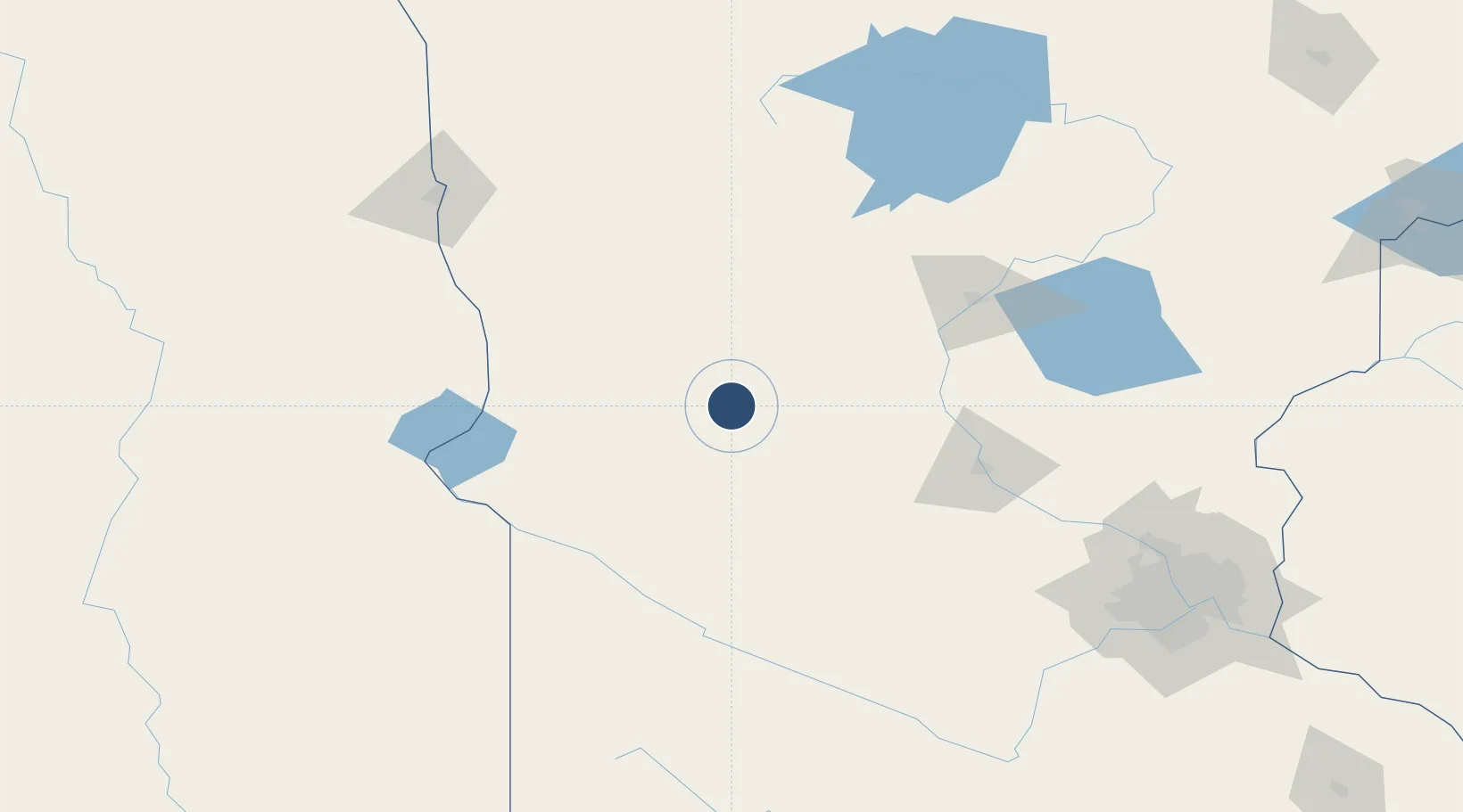
45.8663°, -95.3947°
5,099 ft
Longest runway
2
Runways
1,425 ft
Elevation
Runway & Layout

Radio Frequencies
ASOS
118.375 MHz
CNTR
126.1 MHz
MINNEAPOLIS CNTR
RDO
122.6 MHz
PRINCETON RDO
UNIC
123 MHz
CTAF/UNICOM
Navaids
AXN VOR-DME Alexandria 112.80 MHz
EE NDB Tamie 374 kHz
Runways · 2
| Runway | Dimensions | Surface | True heading | Lit |
|---|---|---|---|---|
| 13/31 | 5,099 × 100ft | Asphalt | 139° | ✓ |
| 04/22 | 4,098 × 75ft | Asphalt | 049° | ✓ |
Airport Specifications
IATA code
AXN
ICAO code
KAXN
Airport class
Medium airport
Scheduled service
No
Runway surface
Asphalt
Served city
Alexandria
Location
Nearby Logistics Neighbours
Airports
Cities
- 1Brandon19 km
- 2Sauk Centre36 km
- 3Hancock52 km
- 4Albany70 km
- 5Staples71 km
Ports
- 1Duluth272 km
- 2Superior273 km
- 3Two Harbors314 km
- 4Ashland358 km
- 5Washburn358 km
Trade Zones
- 1FTZ No. 267 Fargo163 km
- 2FTZ No. 119 Minneapolis-St. Paul196 km
- 3FTZ No. 051 Duluth261 km
- 4FTZ No. 103 Grand Forks265 km
- 5FTZ No. 220 Sioux Falls280 km
DatabookThe Record of Consolidated Knowledge
United States beyond logistics?