Transport Functions
Road
Multimodal
Hub Profile
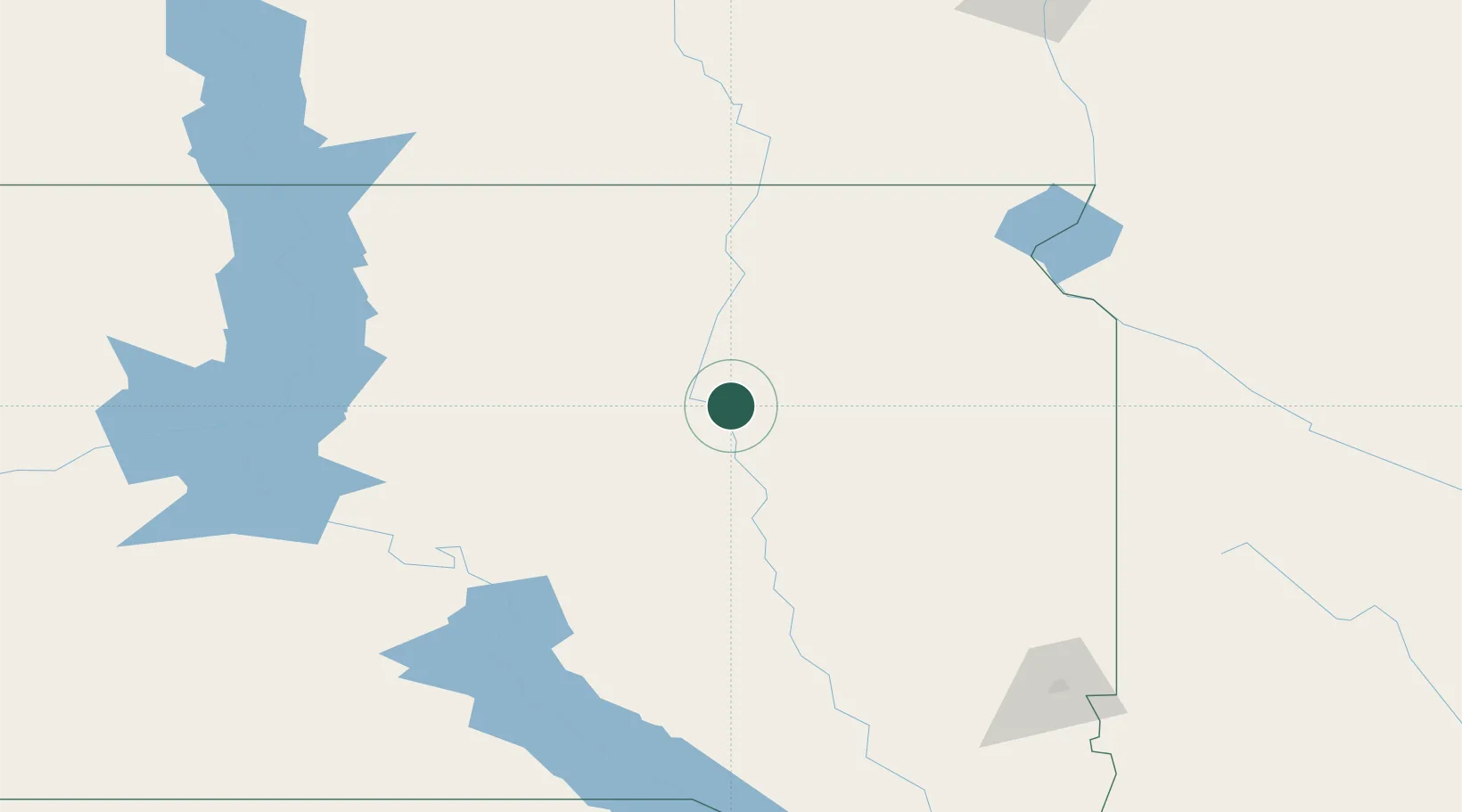
Place type
Populated place
Region
South Dakota
Population
154
Time zone
America/Chicago
Elevation
395 m
Location
Nearby Logistics Neighbours
Ports
- 1Duluth524 km
- 2Superior525 km
- 3Two Harbors566 km
- 4Ashland607 km
- 5Washburn608 km
Airports
- 1Huron Regional Airport56 km
- 2Aberdeen Regional Airport64 km
- 3Watertown Regional Airport90 km
- 4Pierre Regional Airport167 km
- 5Mobridge Municipal Airport181 km
Trade Zones
- 1FTZ No. 220 Sioux Falls191 km
- 2FTZ No. 267 Fargo242 km
- 3FTZ No. 288 Northwest Iowa261 km
- 4FTZ No. 103 Grand Forks348 km
- 5FTZ No. 119 Minneapolis-St. Paul399 km
DatabookThe Record of Consolidated Knowledge
United States beyond logistics?