UN/LOCODE hub · United States
USVGS
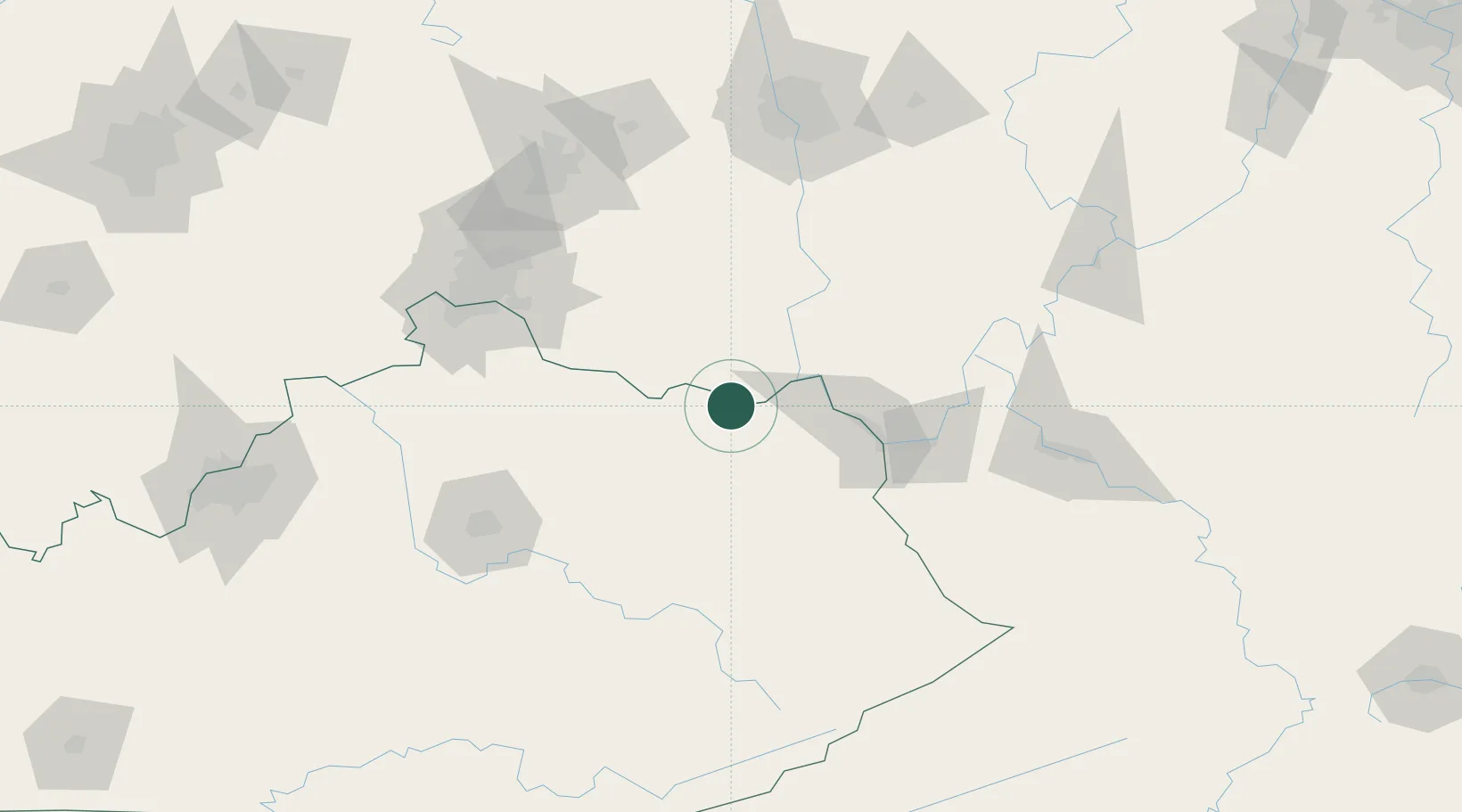
Vanceburg
38.6000°, -83.3167°
1,448
Population
4
Transport functions
Transport Functions
Port
Rail
Road
Multimodal
Hub Profile
Place type
Provincial seat
Region
Kentucky
Population
1,448
Time zone
America/New_York
Elevation
164 m
Location
Nearby Logistics Neighbours
Cities
- 1West Union28 km
- 2West Portsmouth31 km
- 3Olive Hill35 km
- 4Grahn41 km
- 5Franklin Furnace42 km
Ports
- 1Huron318 km
- 2Sandusky321 km
- 3Vermilion325 km
- 4Port Clinton326 km
- 5Lorain333 km
Airports
Trade Zones
- 1FTZ No. 054 Clinton County101 km
- 2FTZ No. 046 CIncinnati118 km
- 3FTZ No. 138 Franklin County139 km
- 4FTZ No. 047 Boone County142 km
- 5FTZ No. 229 Charleston142 km
DatabookThe Record of Consolidated Knowledge
United States beyond logistics?