UN/LOCODE hub · United States
USWQZ
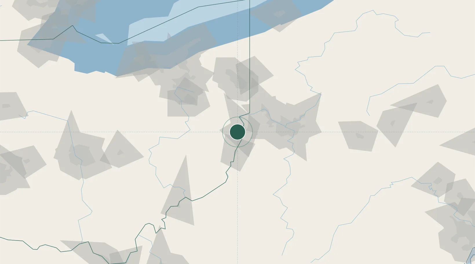
Wintersville
40.3667°, -80.7000°
3,795
Population
3
Transport functions
Transport Functions
Port
Road
Multimodal
Hub Profile
Place type
Populated place
Region
Ohio
Population
3,795
Time zone
America/New_York
Elevation
385 m
Location
Nearby Logistics Neighbours
Cities
- 1Richmond9 km
- 2New Cumberland16 km
- 3Hammondsville20 km
- 4Congo27 km
- 5Cadiz28 km
Airports
Trade Zones
- 1FTZ No. 033 Pittsburgh56 km
- 2FTZ No. 181 Akron Canton110 km
- 3FTZ No. 040 Cleveland158 km
- 4FTZ No. 295 Central Pennsylvania186 km
- 5FTZ No. 138 Franklin County200 km
DatabookThe Record of Consolidated Knowledge
United States beyond logistics?