Transport Functions
Road
Multimodal
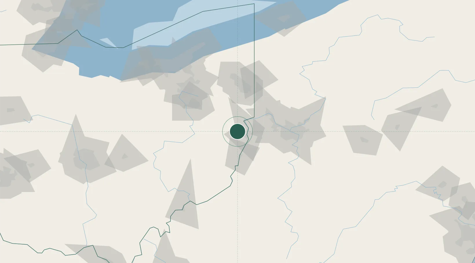
Hub Profile
Place type
Populated place
Region
Ohio
Population
464
Time zone
America/New_York
Elevation
379 m
Location
Nearby Logistics Neighbours
Cities
- 1Wintersville9 km
- 2Hammondsville14 km
- 3New Cumberland15 km
- 4Congo22 km
- 5Chester27 km
Airports
Trade Zones
- 1FTZ No. 033 Pittsburgh61 km
- 2FTZ No. 181 Akron Canton101 km
- 3FTZ No. 040 Cleveland149 km
- 4FTZ No. 295 Central Pennsylvania188 km
- 5FTZ No. 247 Erie195 km
DatabookThe Record of Consolidated Knowledge
United States beyond logistics?