Transport Functions
Multimodal
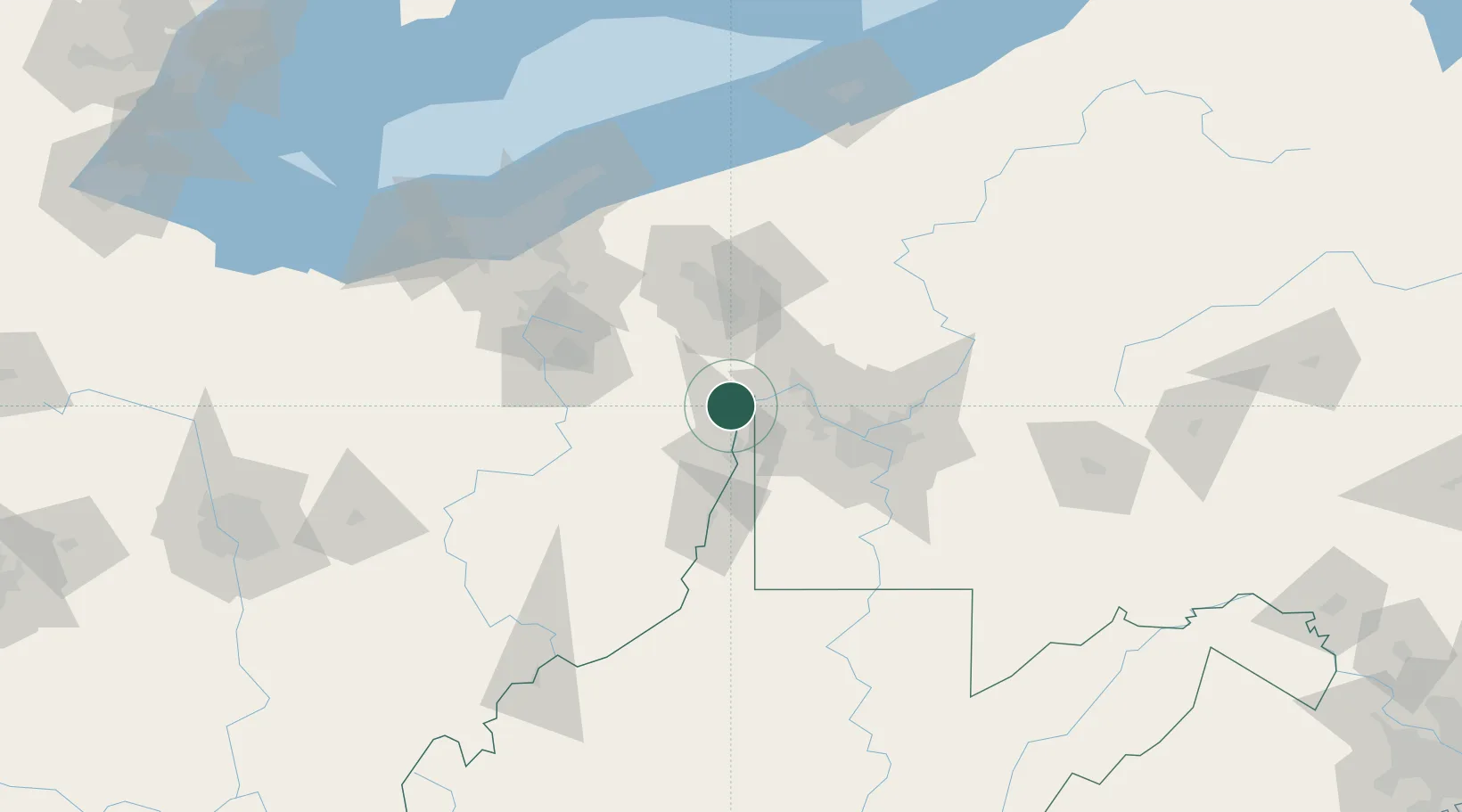
Hub Profile
Place type
Populated place
Region
West Virginia
Time zone
America/New_York
Elevation
208 m
Location
Nearby Logistics Neighbours
Cities
- 1Chester6 km
- 2Hammondsville8 km
- 3New Cumberland11 km
- 4Midland16 km
- 5Elkton18 km
Airports
Trade Zones
- 1FTZ No. 033 Pittsburgh53 km
- 2FTZ No. 181 Akron Canton101 km
- 3FTZ No. 040 Cleveland143 km
- 4FTZ No. 295 Central Pennsylvania170 km
- 5FTZ No. 247 Erie174 km
DatabookThe Record of Consolidated Knowledge
United States beyond logistics?