Transport Functions
Rail
Road
Multimodal
Hub Profile
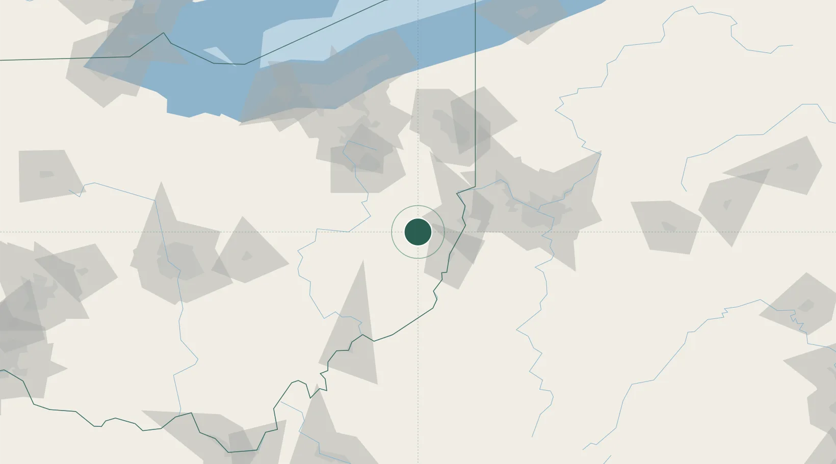
Place type
Provincial seat
Region
Ohio
Population
3,271
Time zone
America/New_York
Elevation
385 m
Location
Nearby Logistics Neighbours
Cities
- 1Kinsman, Belmont17 km
- 2Brilliant19 km
- 3Morristown25 km
- 4Belmont26 km
- 5Richmond27 km
Airports
Trade Zones
- 1FTZ No. 033 Pittsburgh83 km
- 2FTZ No. 181 Akron Canton99 km
- 3FTZ No. 040 Cleveland154 km
- 4FTZ No. 138 Franklin County172 km
- 5FTZ No. 295 Central Pennsylvania214 km
DatabookThe Record of Consolidated Knowledge
United States beyond logistics?