Medium airport · United States

Wheeling Ohio County AirportKHLG
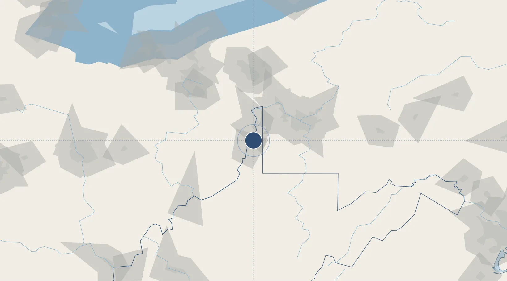
40.1750°, -80.6463°
5,002 ft
Longest runway
2
Runways
1,195 ft
Elevation

Runway & Layout

Wheeling Ohio County Airport runway & taxiway layout
Runway & taxiway layout — OpenStreetMap (ODbL) / OurAirports

Radio Frequencies

ASOS
127.375 MHz
TWR
118.1 MHz
GND
121.75 MHz
CTAF
118.1 MHz
A/D
118.65 MHz
PITTSBURG APP/DEP
RDO
118.65 MHz
ELKINS RDO
UNIC
122.95 MHz
UNICOM
OurAirports

Runways · 2

RunwayDimensions SurfaceTrue headingLit
03/21 5,002 × 150ft Asphalt 026°
16/34 4,499 × 150ft Asphalt 151°
OurAirports

Airport Specifications

IATA code
HLG
OurAirports
ICAO code
KHLG
OurAirports
Airport class
Medium airport
OurAirports
Scheduled service
No
OurAirports
Runway surface
Asphalt
OurAirports
Served city
Wheeling
OurAirports

Location

Location of KHLG
Natural Earth 10m (public domain) · West Virginia · KHLG · 40.17, -80.65GoogleOSMYandex

Nearby Logistics Neighbours

Airports
  1. 1Pittsburgh International Airport50 km
  2. 2Allegheny County Airport64 km
  3. 3Beaver County Airport70 km
  4. 4Morgantown Municipal Airport Walter L. (Bill) Hart Field86 km
  5. 5North Central West Virginia Airport104 km
Nearest neighbours — logibook spatial index (haversine) over the source coordinates
Cities
  1. 1West Alexander15 km
  2. 2Lansing17 km
  3. 3Benwood19 km
  4. 4Wintersville22 km
  5. 5Kinsman, Belmont22 km
Nearest neighbours — logibook spatial index (haversine) over the source coordinates
Ports
  1. 1Cleveland173 km
  2. 2Fairport185 km
  3. 3Ashtabula192 km
  4. 4Lorain193 km
  5. 5Conneaut199 km
Nearest neighbours — logibook spatial index (haversine) over the source coordinates
Trade Zones
  1. 1FTZ No. 033 Pittsburgh58 km
  2. 2FTZ No. 181 Akron Canton127 km
  3. 3FTZ No. 040 Cleveland178 km
  4. 4FTZ No. 295 Central Pennsylvania193 km
  5. 5FTZ No. 138 Franklin County199 km
Nearest neighbours — logibook spatial index (haversine) over the source coordinates
DatabookThe Record of Consolidated Knowledge
United States beyond logistics?
Browse databook

All Sources

AirportsOurAirports
Public domain
Portsthe NGA World Port Index
Public domain (US gov)
LocationsUN/LOCODE
UN/LOCODE — free
Trade Zonesthe World Bank SEZ database
CC BY 4.0
Trade ZonesOpen Zone Map
CC BY
InfrastructureOpenStreetMap
ODbL 1.0
← United States airports