UN/LOCODE hub · United States
USNCU
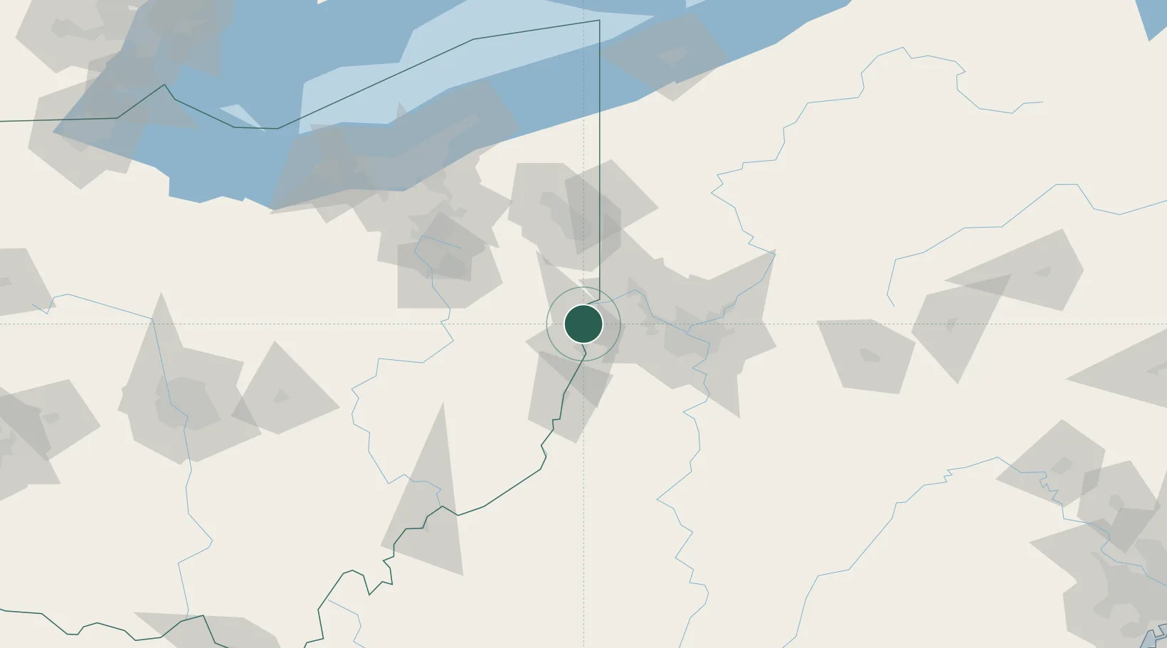
New Cumberland
40.5000°, -80.6167°
1,063
Population
3
Transport functions
Transport Functions
Rail
Road
Multimodal
Hub Profile
Place type
Provincial seat
Region
West Virginia
Population
1,063
Time zone
America/New_York
Elevation
220 m
Location
Nearby Logistics Neighbours
Cities
- 1Hammondsville9 km
- 2Congo11 km
- 3Chester14 km
- 4Richmond15 km
- 5Wintersville16 km
Airports
Trade Zones
- 1FTZ No. 033 Pittsburgh49 km
- 2FTZ No. 181 Akron Canton108 km
- 3FTZ No. 040 Cleveland152 km
- 4FTZ No. 295 Central Pennsylvania173 km
- 5FTZ No. 247 Erie185 km
DatabookThe Record of Consolidated Knowledge
United States beyond logistics?