Transport Functions
Road
Multimodal
Hub Profile
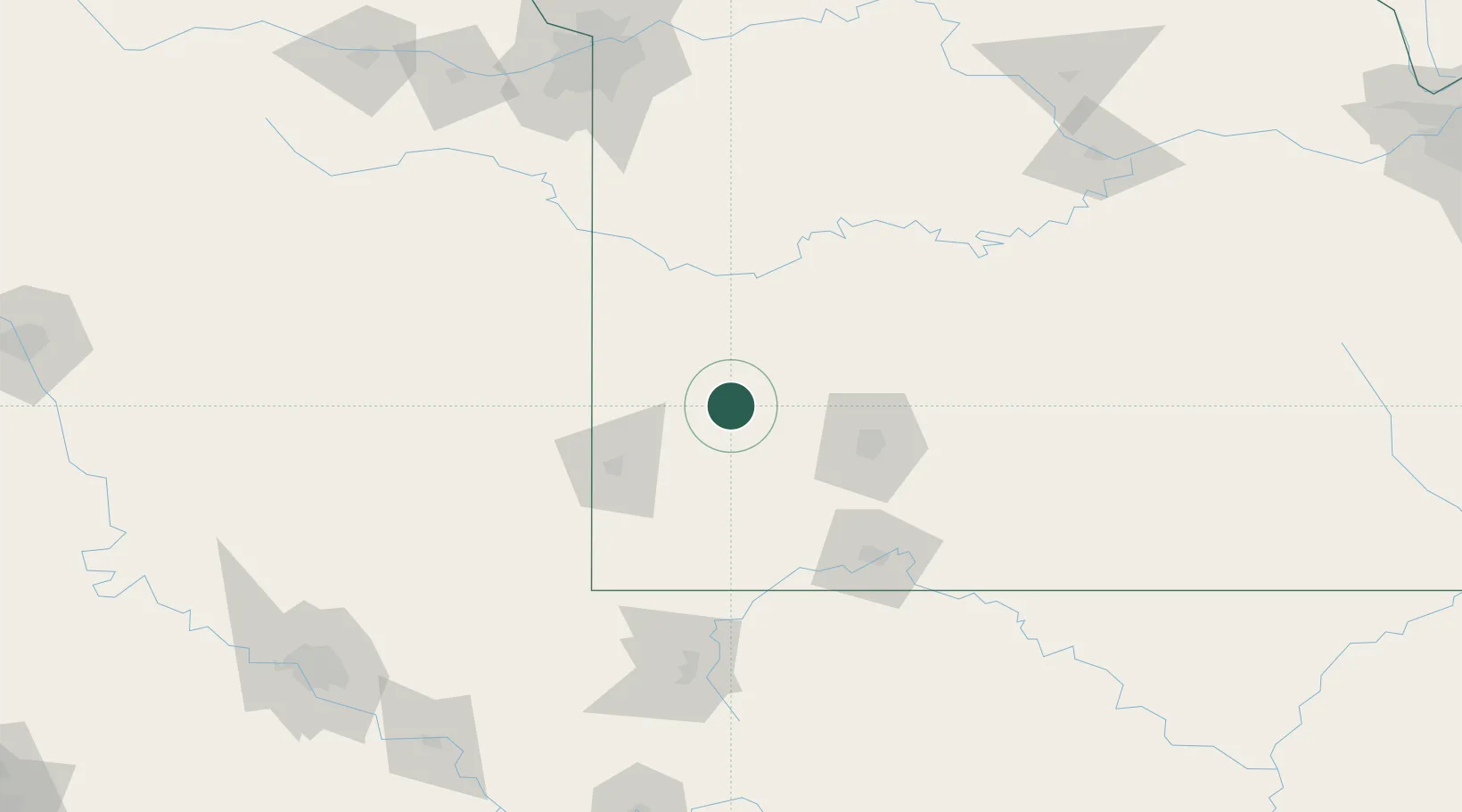
Place type
Populated place
Region
Missouri
Population
905
Time zone
America/Chicago
Elevation
331 m
Location
Nearby Logistics Neighbours
Cities
- 1Jasper31 km
- 2Mount Vernon34 km
- 3Reeds35 km
- 4Pleasant Valley43 km
- 5Willard47 km
Ports
- 1Port Of Memphis426 km
- 2Calumet Harbor733 km
- 3Indiana Harbor734 km
- 4Gary737 km
- 5Chicago739 km
Airports
Trade Zones
- 1FTZ No. 225 Springfield73 km
- 2FTZ No. 015 Kansas City182 km
- 3FTZ No. 053 Rogers County205 km
- 4FTZ No. 017 Kansas City206 km
- 5FTZ No. 164 Muskogee227 km
DatabookThe Record of Consolidated Knowledge
United States beyond logistics?