UN/LOCODE hub · United States
USOUV
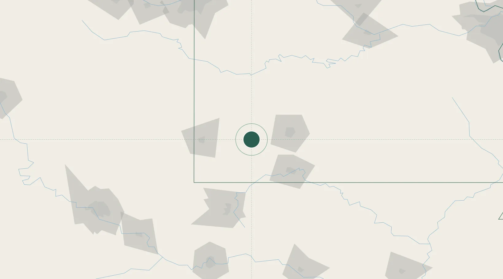
Mount Vernon
37.1000°, -93.8167°
4,537
Population
3
Transport functions
Transport Functions
Rail
Road
Multimodal
Hub Profile
Place type
Provincial seat
Region
Missouri
Population
4,537
Time zone
America/Chicago
Elevation
369 m
Location
Nearby Logistics Neighbours
Cities
- 1Marionville20 km
- 2Billings24 km
- 3Pierce City25 km
- 4Republic31 km
- 5Reeds31 km
Ports
- 1Port Of Memphis398 km
- 2Calumet Harbor747 km
- 3Indiana Harbor747 km
- 4Gary750 km
- 5Chicago753 km
Airports
Trade Zones
- 1FTZ No. 225 Springfield60 km
- 2FTZ No. 053 Rogers County200 km
- 3FTZ No. 164 Muskogee211 km
- 4FTZ No. 015 Kansas City215 km
- 5FTZ No. 017 Kansas City239 km
DatabookThe Record of Consolidated Knowledge
United States beyond logistics?