UN/LOCODE hub · United States
USWO3
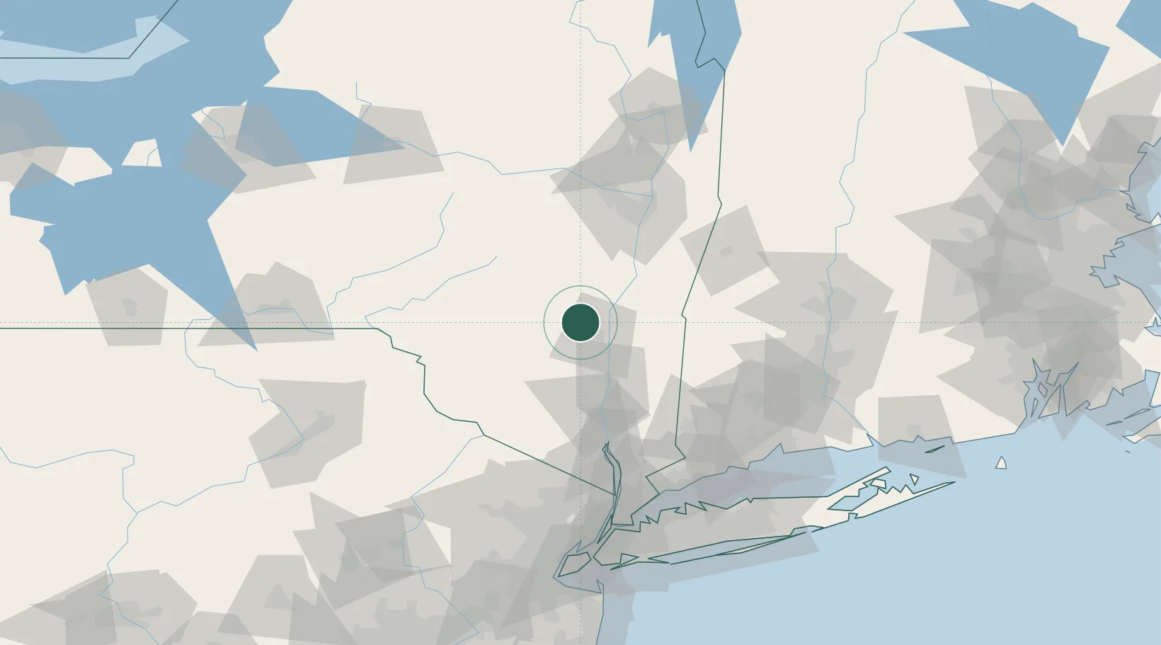
Woodstock
42.0333°, -74.1167°
2,088
Population
1
Transport functions
Transport Functions
Multimodal
Hub Profile
Place type
Populated place
Region
New York
Population
2,088
Time zone
America/New_York
Elevation
171 m
Location
Nearby Logistics Neighbours
Cities
- 1West Hurley6 km
- 2Lake Katerine11 km
- 3Hurley12 km
- 4Lake Katrine12 km
- 5Port Ewen19 km
Ports
- 1Kingston17 km
- 2Catskill30 km
- 3Poughkeepsie40 km
- 4Newburgh60 km
- 5Albany75 km
Airports
Trade Zones
- 1FTZ No. 121 Albany80 km
- 2FTZ No. 037 Orange County98 km
- 3FTZ No. 201 Holyoke118 km
- 4FTZ No. 076 Bridgeport123 km
- 5FTZ No. 071 Windsor Locks123 km
DatabookThe Record of Consolidated Knowledge
United States beyond logistics?