Transport Functions
Road
Multimodal
Hub Profile
Place type
Populated place
Region
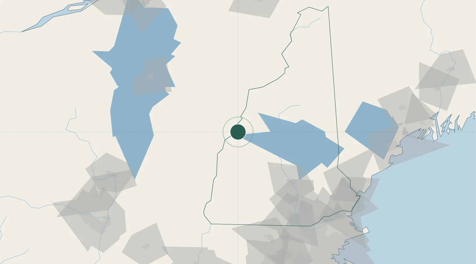
New Hampshire
Population
1,788
Time zone
America/New_York
Elevation
166 m
Location
Nearby Logistics Neighbours
Ports
- 1Portsmouth139 km
- 2Saco141 km
- 3Kennebunkport145 km
- 4Newburyport152 km
- 5Portland154 km
Airports
Trade Zones
- 1FTZ No. 268 Brattleboro112 km
- 2FTZ No. 081 Portsmouth135 km
- 3FTZ No. 263 Auburn159 km
- 4FTZ No. 121 Albany182 km
- 5FTZ No. 201 Holyoke183 km
DatabookThe Record of Consolidated Knowledge
United States beyond logistics?