Transport Functions
Rail
Road
Hub Profile
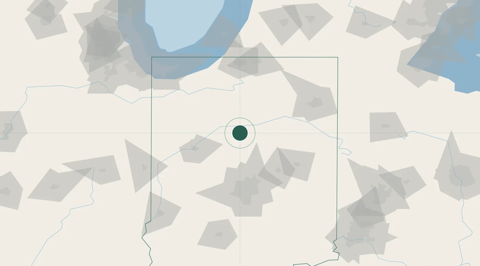
Place type
Populated place
Region
Indiana
Population
1,022
Time zone
America/Indiana/Indianapolis
Elevation
235 m
Location
Nearby Logistics Neighbours
Cities
- 1Russiaville26 km
- 2Mount Vernon35 km
- 3Delphi37 km
- 4Michigantown40 km
- 5Windfall41 km
Ports
- 1Michigan City133 km
- 2Gary142 km
- 3Indiana Harbor151 km
- 4Calumet Harbor161 km
- 5St Joseph164 km
Airports
Trade Zones
- 1FTZ No. 182 Fort Wayne93 km
- 2FTZ No. 072 Indianapolis103 km
- 3FTZ No. 125 South Bend114 km
- 4FTZ No. 152 Burns Harbor133 km
- 5FTZ No. 022 Chicago190 km
DatabookThe Record of Consolidated Knowledge
United States beyond logistics?