UN/LOCODE hub · United States
USRV3
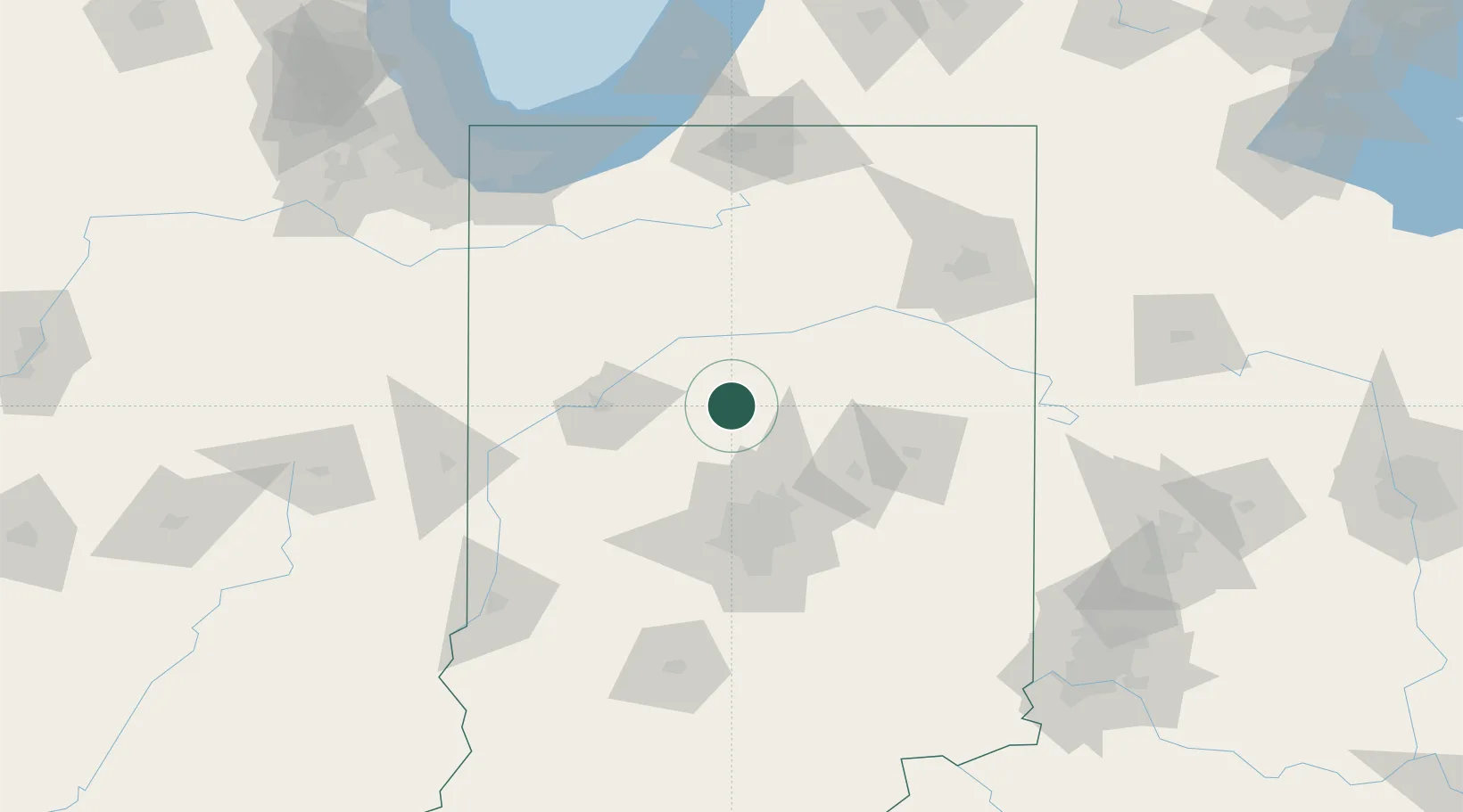
Russiaville
40.4167°, -86.2667°
1,098
Population
2
Transport functions
Transport Functions
Rail
Road
Hub Profile
Place type
Populated place
Region
Indiana
Population
1,098
Time zone
America/Indiana/Indianapolis
Elevation
258 m
Location
Nearby Logistics Neighbours
Cities
- 1Michigantown16 km
- 2Walton26 km
- 3Windfall28 km
- 4Atlanta32 km
- 5Delphi39 km
Ports
- 1Michigan City156 km
- 2Gary161 km
- 3Indiana Harbor170 km
- 4Calumet Harbor180 km
- 5St Joseph190 km
Airports
Trade Zones
- 1FTZ No. 072 Indianapolis77 km
- 2FTZ No. 182 Fort Wayne111 km
- 3FTZ No. 125 South Bend140 km
- 4FTZ No. 152 Burns Harbor154 km
- 5FTZ No. 100 Dayton182 km
DatabookThe Record of Consolidated Knowledge
United States beyond logistics?