Transport Functions
Rail
Road
Multimodal
Hub Profile
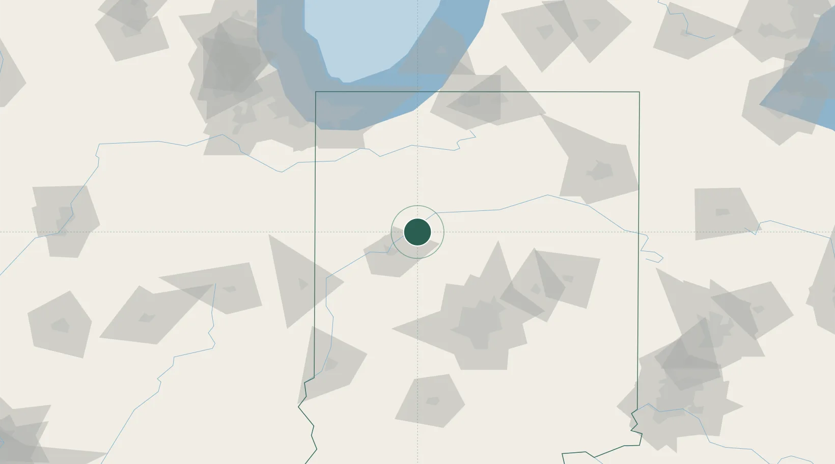
Place type
Provincial seat
Region
Indiana
Population
2,858
Time zone
America/Indiana/Indianapolis
Elevation
173 m
Location
Nearby Logistics Neighbours
Cities
- 1Battle Ground17 km
- 2Brookston17 km
- 3Monticello18 km
- 4West Lafayette27 km
- 5Buffalo32 km
Ports
- 1Gary128 km
- 2Michigan City129 km
- 3Indiana Harbor137 km
- 4Calumet Harbor146 km
- 5Chicago164 km
Airports
Trade Zones
- 1FTZ No. 072 Indianapolis100 km
- 2FTZ No. 152 Burns Harbor123 km
- 3FTZ No. 125 South Bend124 km
- 4FTZ No. 182 Fort Wayne128 km
- 5FTZ No. 022 Chicago172 km
DatabookThe Record of Consolidated Knowledge
United States beyond logistics?