UN/LOCODE hub · United States
USKMH
Michigantown
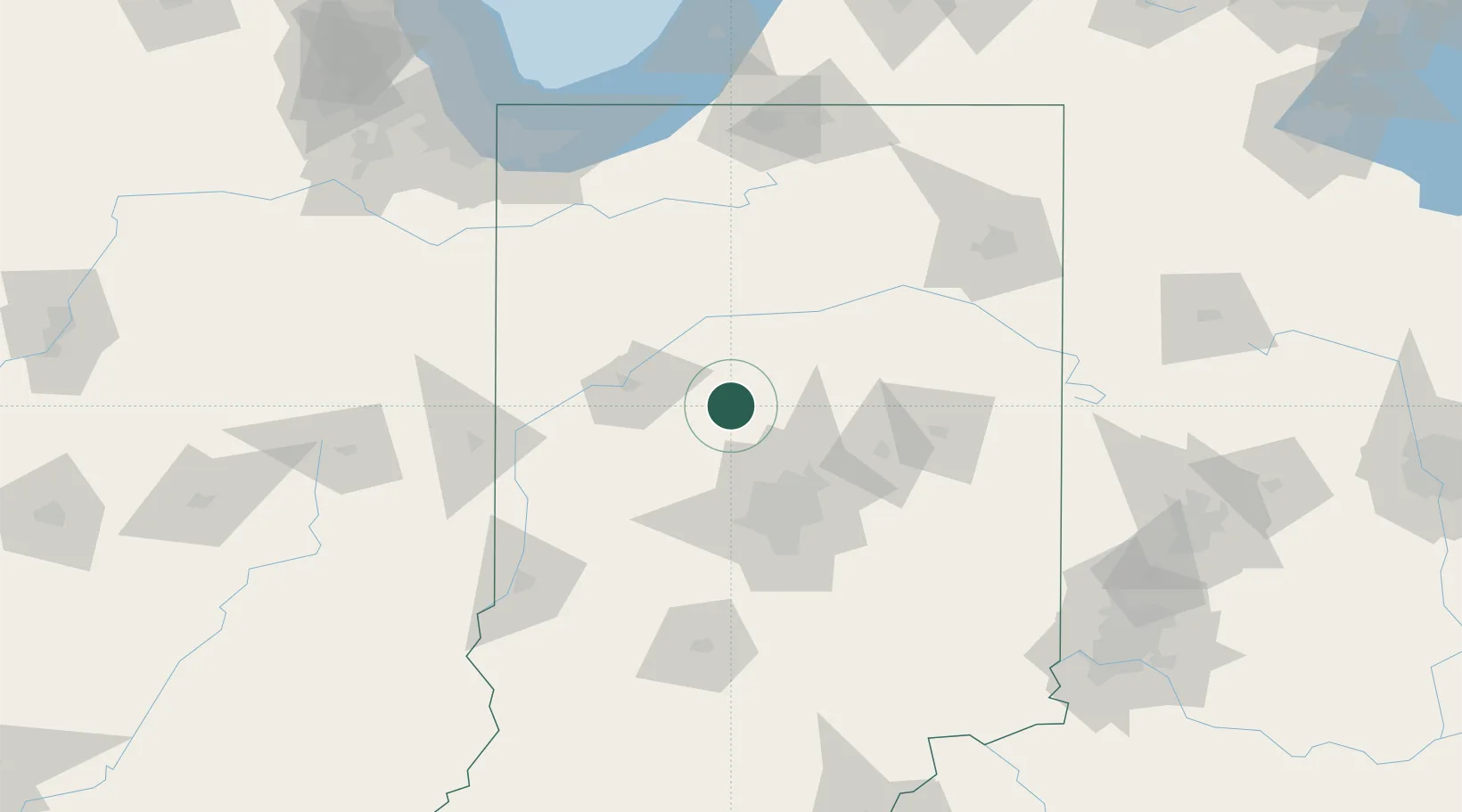
40.3167°, -86.4000°
455
Population
2
Transport functions
Transport Functions
Rail
Road
Hub Profile
Place type
Populated place
Region
Indiana
Population
455
Time zone
America/Indiana/Indianapolis
Elevation
267 m
Location
Nearby Logistics Neighbours
Cities
- 1Russiaville16 km
- 2Clarks Hill28 km
- 3Monroe, Tippecanoe29 km
- 4Atlanta35 km
- 5Delphi37 km
Ports
- 1Michigan City163 km
- 2Gary164 km
- 3Indiana Harbor173 km
- 4Calumet Harbor183 km
- 5St Joseph200 km
Airports
Trade Zones
- 1FTZ No. 072 Indianapolis66 km
- 2FTZ No. 182 Fort Wayne127 km
- 3FTZ No. 125 South Bend151 km
- 4FTZ No. 152 Burns Harbor159 km
- 5FTZ No. 100 Dayton189 km
DatabookThe Record of Consolidated Knowledge
United States beyond logistics?