Transport Functions
Port
Multimodal
Hub Profile
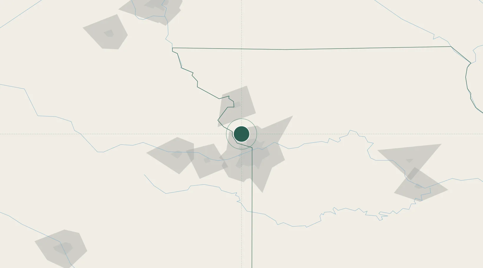
Place type
Populated place
Region
South Dakota
Population
1,266
Time zone
America/Chicago
Elevation
488 m
Location
Nearby Logistics Neighbours
Ports
- 1Port Of Memphis627 km
- 2Chicago667 km
- 3Calumet Harbor667 km
- 4Great Lakes669 km
- 5Wilmette670 km
Airports
Trade Zones
- 1FTZ No. 017 Kansas City30 km
- 2FTZ No. 015 Kansas City58 km
- 3FTZ No. 133 Quad-Cities, Iowa Illinois160 km
- 4FTZ No. 059 Lincoln238 km
- 5FTZ No. 107 Polk County273 km
DatabookThe Record of Consolidated Knowledge
United States beyond logistics?