UN/LOCODE hub · United States
USNV2
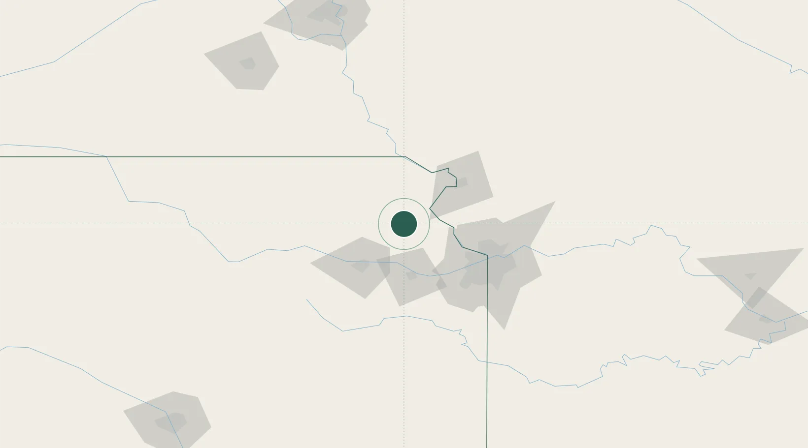
Nortonville
39.4167°, -95.3333°
616
Population
2
Transport functions
Transport Functions
Rail
Road
Hub Profile
Place type
Populated place
Region
Kansas
Population
616
Time zone
America/Chicago
Elevation
354 m
Location
Nearby Logistics Neighbours
Cities
- 1Oskaloosa24 km
- 2Meriden33 km
- 3Holton35 km
- 4Tonganoxie39 km
- 5Platte49 km
Ports
- 1Port Of Memphis665 km
- 2Great Lakes707 km
- 3Chicago707 km
- 4Calumet Harbor708 km
- 5Wilmette709 km
Airports
Trade Zones
- 1FTZ No. 017 Kansas City55 km
- 2FTZ No. 015 Kansas City74 km
- 3FTZ No. 133 Quad-Cities, Iowa Illinois117 km
- 4FTZ No. 059 Lincoln200 km
- 5FTZ No. 161 Sedgwick County285 km
DatabookThe Record of Consolidated Knowledge
United States beyond logistics?