Transport Functions
Rail
Multimodal
Hub Profile
Place type
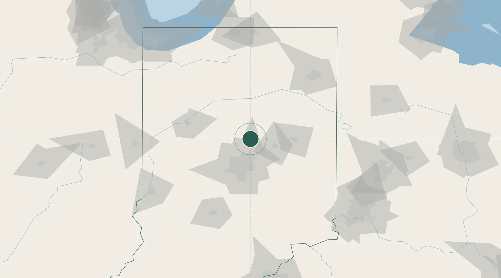
Populated place
Region
Indiana
Population
735
Time zone
America/Indiana/Indianapolis
Elevation
263 m
Location
Nearby Logistics Neighbours
Cities
- 1Windfall18 km
- 2Russiaville32 km
- 3Fortville33 km
- 4Zionsville34 km
- 5Michigantown35 km
Ports
- 1Michigan City186 km
- 2Gary193 km
- 3Indiana Harbor202 km
- 4Calumet Harbor212 km
- 5St Joseph217 km
Airports
Trade Zones
- 1FTZ No. 072 Indianapolis59 km
- 2FTZ No. 182 Fort Wayne116 km
- 3FTZ No. 100 Dayton154 km
- 4FTZ No. 125 South Bend166 km
- 5FTZ No. 047 Boone County168 km
DatabookThe Record of Consolidated Knowledge
United States beyond logistics?