Transport Functions
Rail
Road
Multimodal
Hub Profile
Place type
Populated place
Region
Georgia
Time zone
America/New_York
Elevation
295 m
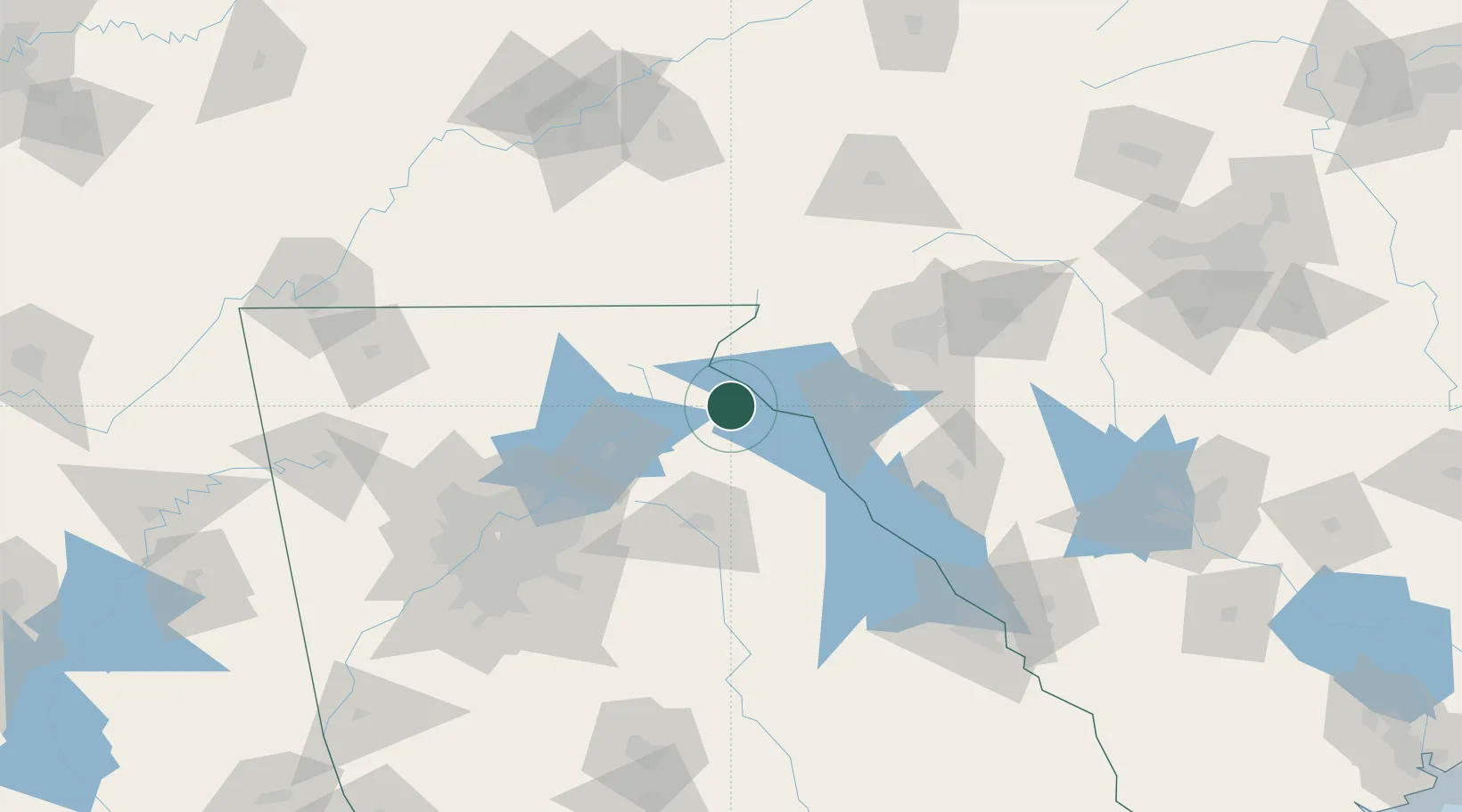
Location
Nearby Logistics Neighbours
Cities
- 1Avalon5 km
- 2Lavonia17 km
- 3Clarkesville28 km
- 4Alto30 km
- 5West Union33 km
Ports
- 1Beaufort333 km
- 2Savannah337 km
- 3Port Royal337 km
- 4Charleston364 km
- 5Georgetown388 km
Airports
Trade Zones
- 1FTZ No. 038 Spartanburg County100 km
- 2FTZ No. 026 Atlanta134 km
- 3FTZ No. 148 Knoxville186 km
- 4FTZ No. 127 West Columbia204 km
- 5FTZ No. 134 Chattanooga205 km
DatabookThe Record of Consolidated Knowledge
United States beyond logistics?