Transport Functions
Multimodal
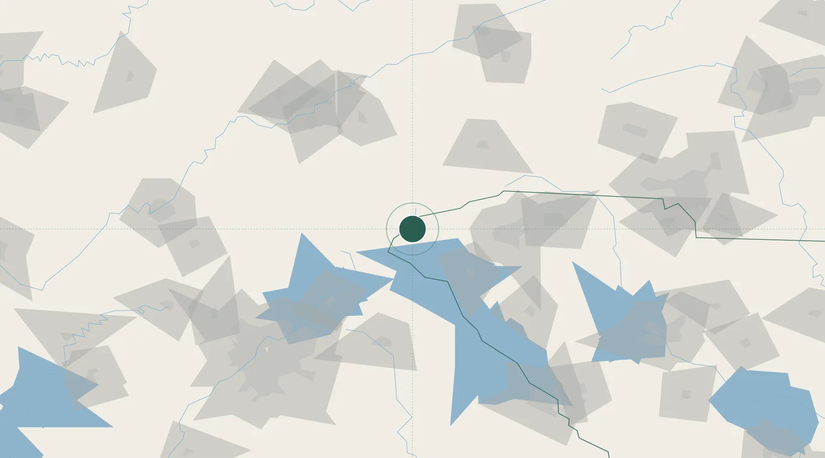
Hub Profile
Place type
Populated place
Region
Georgia
Time zone
America/New_York
Elevation
457 m
Location
Nearby Logistics Neighbours
Cities
- 1West Union20 km
- 2Valley22 km
- 3Clayton23 km
- 4Eastanollee44 km
- 5Avalon45 km
Ports
- 1Beaufort358 km
- 2Port Royal363 km
- 3Savannah367 km
- 4Charleston380 km
- 5Georgetown395 km
Airports
Trade Zones
- 1FTZ No. 038 Spartanburg County82 km
- 2FTZ No. 148 Knoxville155 km
- 3FTZ No. 026 Atlanta170 km
- 4FTZ No. 204 Tri-Cities188 km
- 5FTZ No. 057 Mecklenburg County192 km
DatabookThe Record of Consolidated Knowledge
United States beyond logistics?