Transport Functions
Multimodal
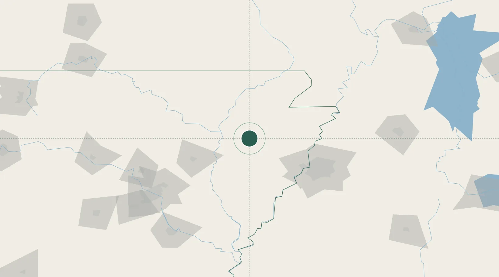
Hub Profile
Place type
Populated place
Region
Arkansas
Population
60
Time zone
America/Chicago
Elevation
73 m
Location
Nearby Logistics Neighbours
Cities
- 1Fair Oaks36 km
- 2Trumann41 km
- 3Bono42 km
- 4Marked Tree47 km
- 5Colt50 km
Ports
- 1Port Of Memphis88 km
- 2Baton Rouge568 km
- 3Madisonville577 km
- 4Slidell597 km
- 5Mobile601 km
Airports
Trade Zones
- 1FTZ No. 077 Memphis78 km
- 2FTZ No. 273 West Memphis81 km
- 3FTZ No. 223 Memphis88 km
- 4FTZ No. 287 Tunica County102 km
- 5FTZ No. 262 Southaven106 km
DatabookThe Record of Consolidated Knowledge
United States beyond logistics?