Transport Functions
Rail
Road
Multimodal
Hub Profile
Place type
Populated place
Region
Arkansas
Time zone
America/Chicago
Elevation
67 m
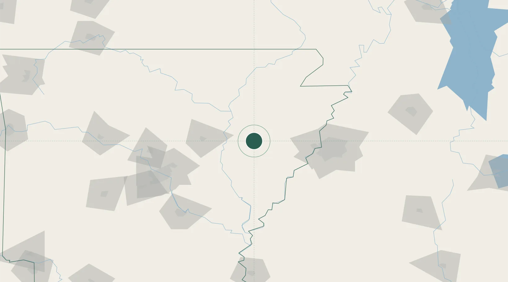
Location
Nearby Logistics Neighbours
Cities
- 1Colt24 km
- 2Cotton Plant34 km
- 3Waldenburg36 km
- 4Wheatley38 km
- 5Widener39 km
Ports
- 1Port Of Memphis80 km
- 2Baton Rouge532 km
- 3Madisonville544 km
- 4Slidell564 km
- 5Gulfport572 km
Airports
Trade Zones
- 1FTZ No. 077 Memphis71 km
- 2FTZ No. 287 Tunica County71 km
- 3FTZ No. 273 West Memphis76 km
- 4FTZ No. 223 Memphis83 km
- 5FTZ No. 262 Southaven95 km
DatabookThe Record of Consolidated Knowledge
United States beyond logistics?