Transport Functions
Rail
Road
Multimodal
Hub Profile
Place type
Populated place
Region
Arkansas
Population
351
Time zone
America/Chicago
Elevation
77 m
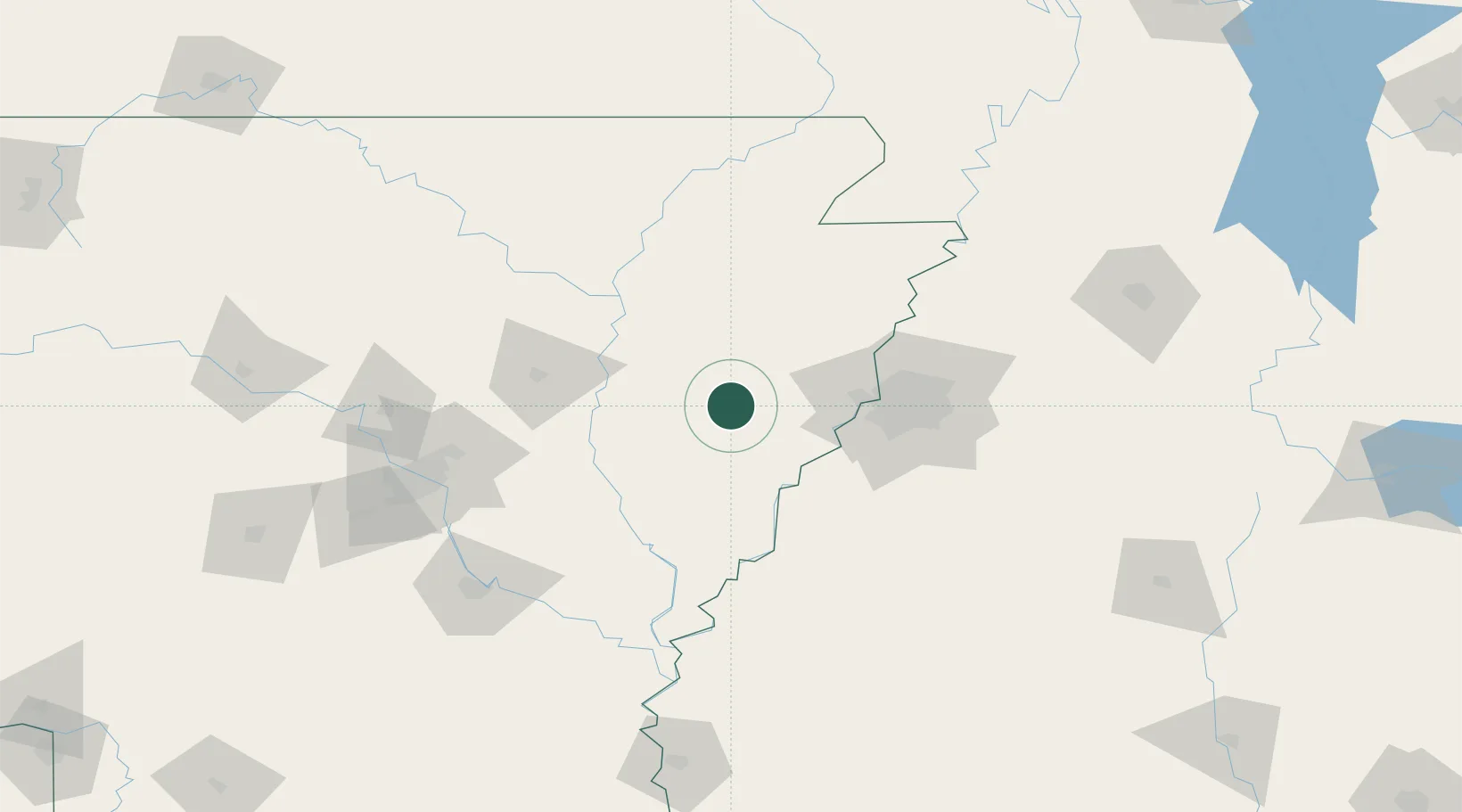
Location
Nearby Logistics Neighbours
Cities
- 1Widener15 km
- 2Fair Oaks24 km
- 3Hughes36 km
- 4Wheatley36 km
- 5Cotton Plant43 km
Ports
- 1Port Of Memphis58 km
- 2Baton Rouge520 km
- 3Madisonville528 km
- 4Slidell548 km
- 5Mobile553 km
Airports
Trade Zones
- 1FTZ No. 077 Memphis50 km
- 2FTZ No. 287 Tunica County52 km
- 3FTZ No. 273 West Memphis55 km
- 4FTZ No. 223 Memphis63 km
- 5FTZ No. 262 Southaven72 km
DatabookThe Record of Consolidated Knowledge
United States beyond logistics?