Transport Functions
Rail
Road
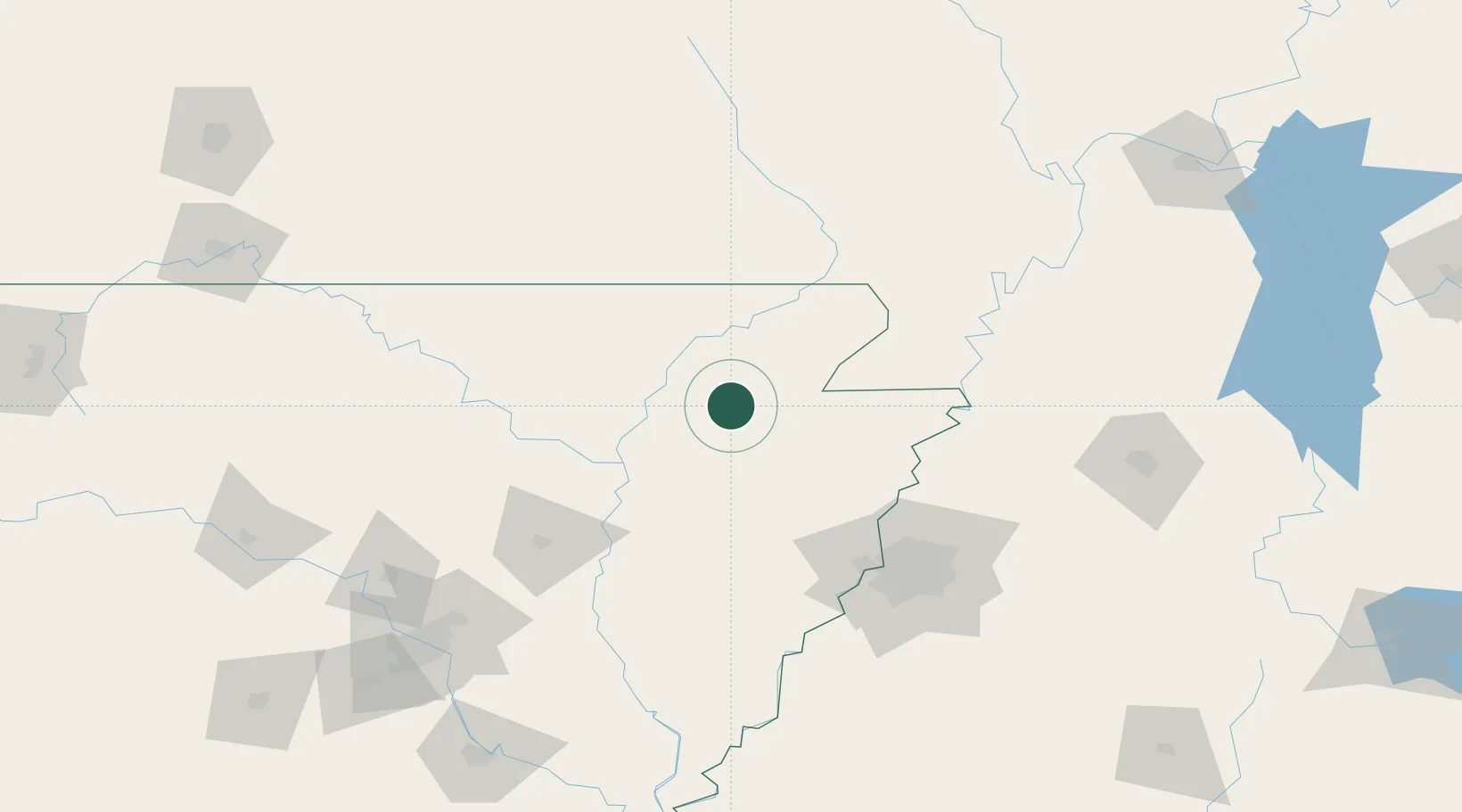
Hub Profile
Place type
Populated place
Region
Arkansas
Population
2,236
Time zone
America/Chicago
Elevation
79 m
Location
Nearby Logistics Neighbours
Cities
- 1Hoxie21 km
- 2Trumann40 km
- 3Waldenburg42 km
- 4Knobel49 km
- 5Marmaduke50 km
Ports
- 1Port Of Memphis111 km
- 2Baton Rouge609 km
- 3Madisonville617 km
- 4Mobile634 km
- 5Slidell636 km
Airports
Trade Zones
- 1FTZ No. 077 Memphis102 km
- 2FTZ No. 273 West Memphis103 km
- 3FTZ No. 283 West Tennessee105 km
- 4FTZ No. 223 Memphis108 km
- 5FTZ No. 262 Southaven129 km
DatabookThe Record of Consolidated Knowledge
United States beyond logistics?