UN/LOCODE hub · United States
USAKT
Marked Tree
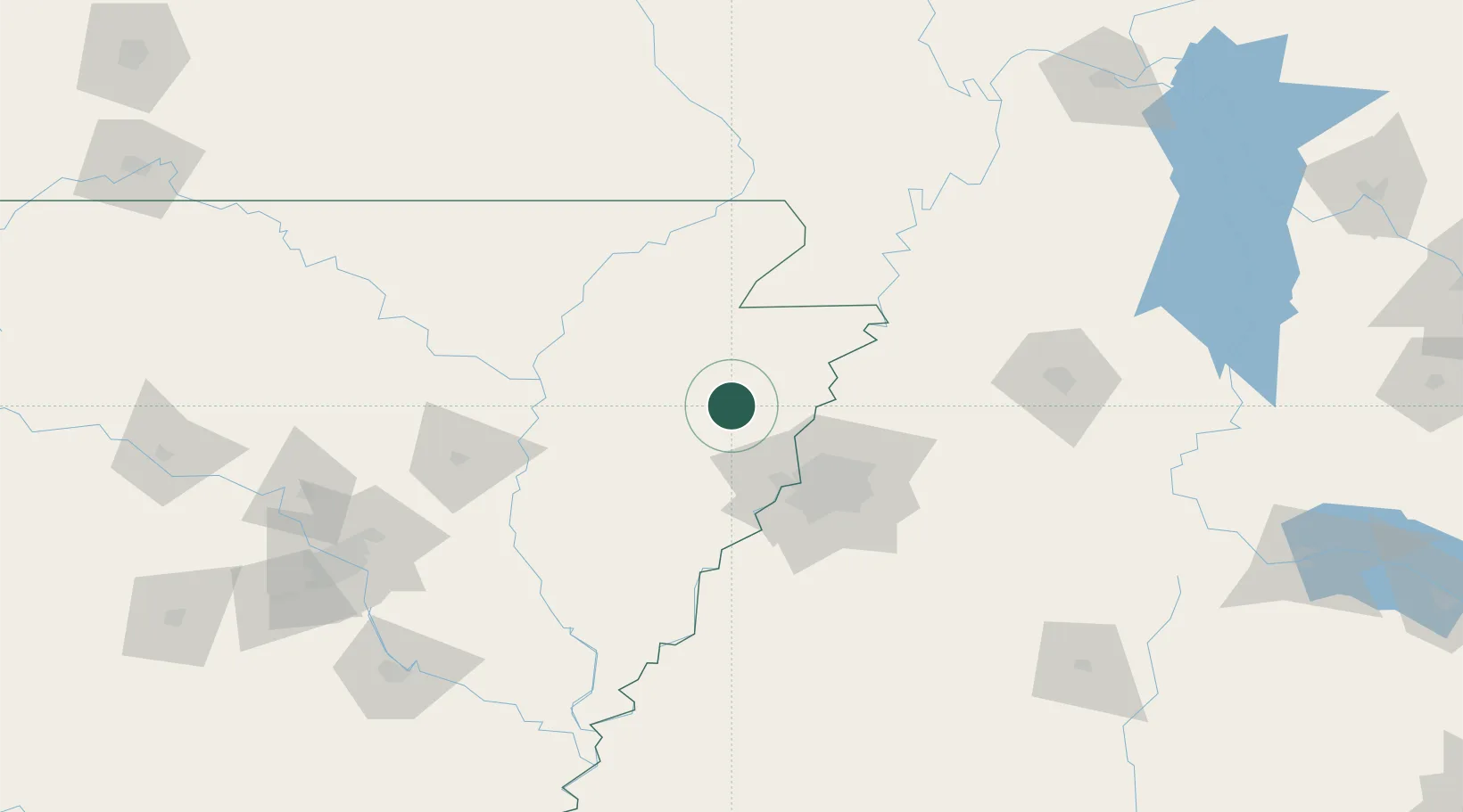
35.5167°, -90.4167°
2,501
Population
3
Transport functions
Transport Functions
Rail
Road
Multimodal
Hub Profile
Place type
Populated place
Region
Arkansas
Population
2,501
Time zone
America/Chicago
Elevation
67 m
Location
Nearby Logistics Neighbours
Cities
- 1Trumann18 km
- 2Evadale29 km
- 3Waldenburg47 km
- 4Leachville49 km
- 5Dell51 km
Ports
- 1Port Of Memphis55 km
- 2Baton Rouge568 km
- 3Madisonville570 km
- 4Mobile579 km
- 5Slidell587 km
Airports
Trade Zones
- 1FTZ No. 077 Memphis46 km
- 2FTZ No. 273 West Memphis46 km
- 3FTZ No. 223 Memphis51 km
- 4FTZ No. 283 West Tennessee72 km
- 5FTZ No. 262 Southaven72 km
DatabookThe Record of Consolidated Knowledge
United States beyond logistics?