Transport Functions
Port
Rail
Road
Multimodal
Hub Profile
Place type
Populated place
Region
North Carolina
Population
4,162
Time zone
America/New_York
Elevation
264 m
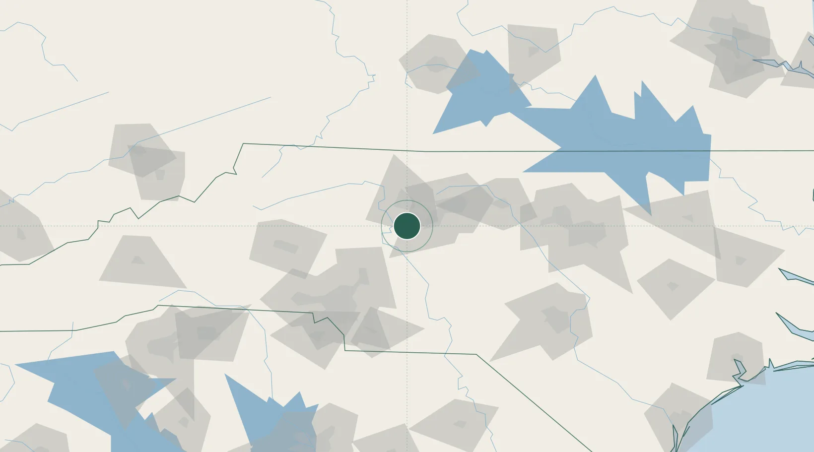
Location
Nearby Logistics Neighbours
Cities
- 1Trinity Park23 km
- 2Kernersville29 km
- 3Spencer29 km
- 4Jamestown30 km
- 5Glenola30 km
Ports
- 1Wilmington280 km
- 2Wrightsville290 km
- 3Washington292 km
- 4Georgetown295 km
- 5Southport300 km
Airports
Trade Zones
- 1FTZ No. 230 Piedmont Triad Area33 km
- 2FTZ No. 057 Mecklenburg County104 km
- 3FTZ No. 093 Raleigh Durham121 km
- 4FTZ No. 238 Dublin139 km
- 5FTZ No. 204 Tri-Cities204 km
DatabookThe Record of Consolidated Knowledge
United States beyond logistics?