UN/LOCODE hub · United States
USTYK

Trinity Park

35.9000°, -80.0000°
3
Transport functions

Transport Functions

Rail
Road
Multimodal
UN/LOCODE

Hub Profile

Place type
Populated place
GeoNames
Region
North Carolina
GeoNames
Time zone
America/New_York
GeoNames
Elevation
229 m
GeoNames

Location

Location of USTYK
Natural Earth 10m (public domain) · North Carolina · USTYK · 35.90, -80.00GoogleOSMYandex

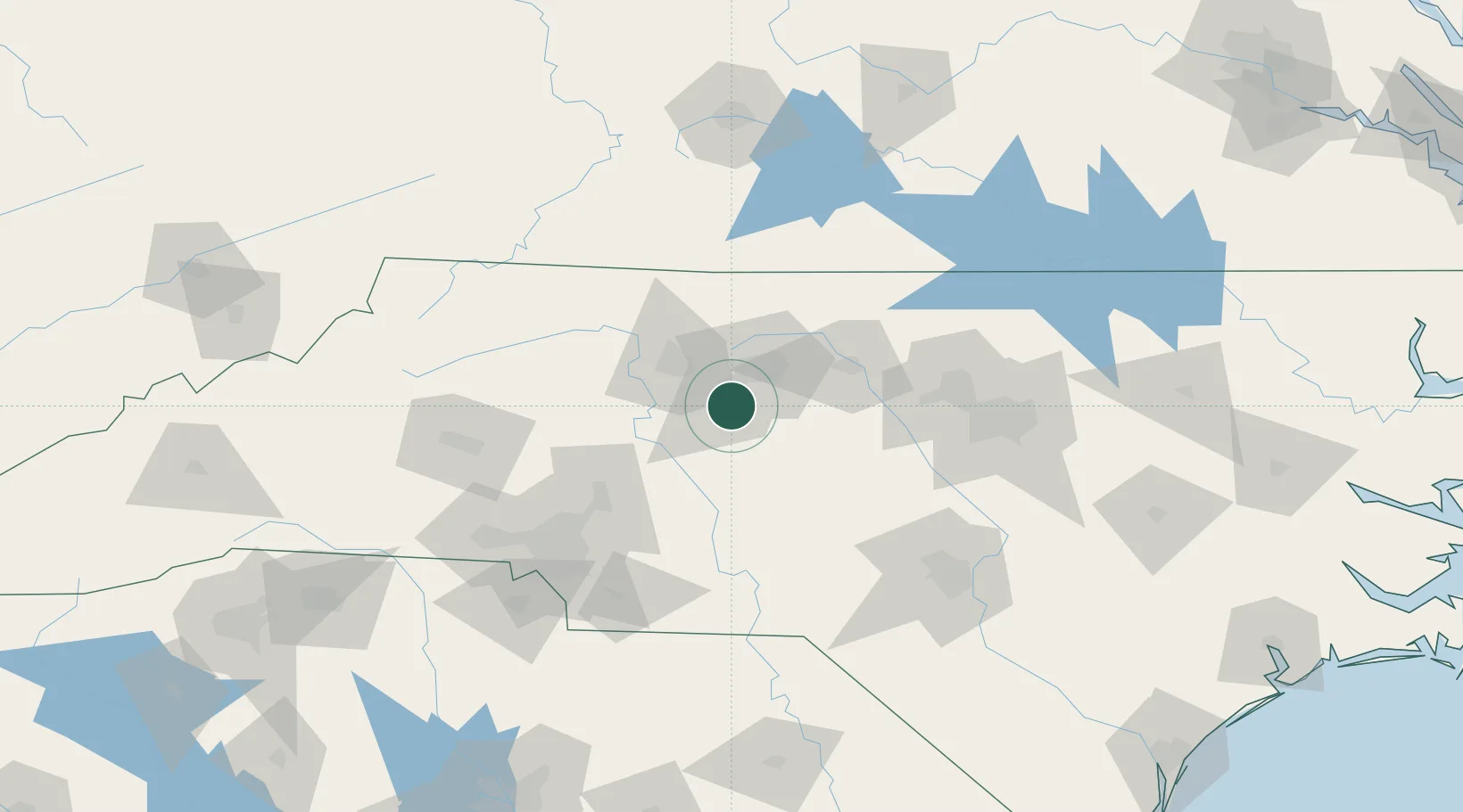
Nearby Logistics Neighbours

Cities
  1. 1Glenola8 km
  2. 2Jamestown11 km
  3. 3Colfax22 km
  4. 4Welcome23 km
  5. 5Kernersville25 km
Nearest neighbours — logibook spatial index (haversine) over the source coordinates
Ports
  1. 1Wilmington263 km
  2. 2Washington269 km
  3. 3Wrightsville273 km
  4. 4New Bern282 km
  5. 5Southport285 km
Nearest neighbours — logibook spatial index (haversine) over the source coordinates
Airports
  1. 1Piedmont Triad International Airport23 km
  2. 2Smith Reynolds Airport33 km
  3. 3Concord-Padgett Regional Airport86 km
  4. 4Danville Regional Airport96 km
  5. 5Raleigh-Durham International Airport109 km
Nearest neighbours — logibook spatial index (haversine) over the source coordinates
Trade Zones
  1. 1FTZ No. 230 Piedmont Triad Area35 km
  2. 2FTZ No. 093 Raleigh Durham99 km
  3. 3FTZ No. 057 Mecklenburg County121 km
  4. 4FTZ No. 238 Dublin147 km
  5. 5FTZ No. 214 Lenoir County205 km
Nearest neighbours — logibook spatial index (haversine) over the source coordinates
DatabookThe Record of Consolidated Knowledge
United States beyond logistics?
Browse databook

All Sources

LocationsUN/LOCODE
UN/LOCODE — free
Portsthe NGA World Port Index
Public domain (US gov)
AirportsOurAirports
Public domain
Trade Zonesthe World Bank SEZ database
CC BY 4.0
Trade ZonesOpen Zone Map
CC BY
← United States locations