Transport Functions
Port
Rail
Road
Hub Profile
Place type
Populated place
Region
North Carolina
Population
3,291
Time zone
America/New_York
Elevation
216 m
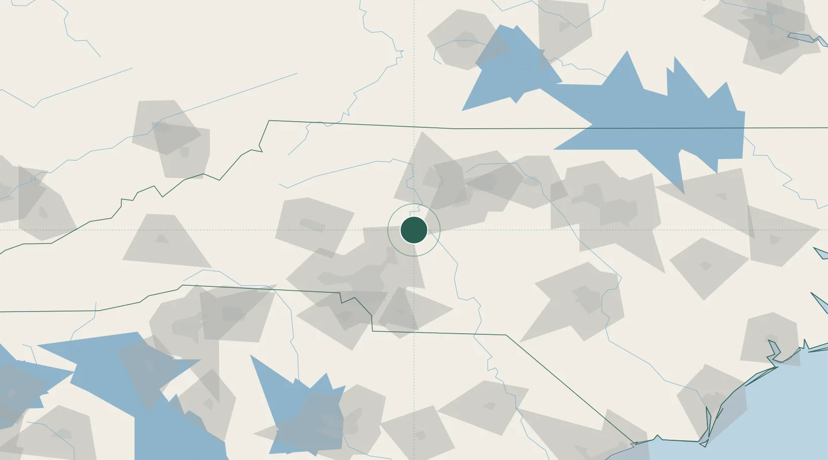
Location
Nearby Logistics Neighbours
Cities
- 1Faith11 km
- 2Rockwell15 km
- 3China Grove18 km
- 4Mount Ulla27 km
- 5Richfield28 km
Ports
- 1Wilmington278 km
- 2Georgetown278 km
- 3Wrightsville289 km
- 4Southport295 km
- 5Washington306 km
Airports
Trade Zones
DatabookThe Record of Consolidated Knowledge
United States beyond logistics?