UN/LOCODE hub · United States
USKRN
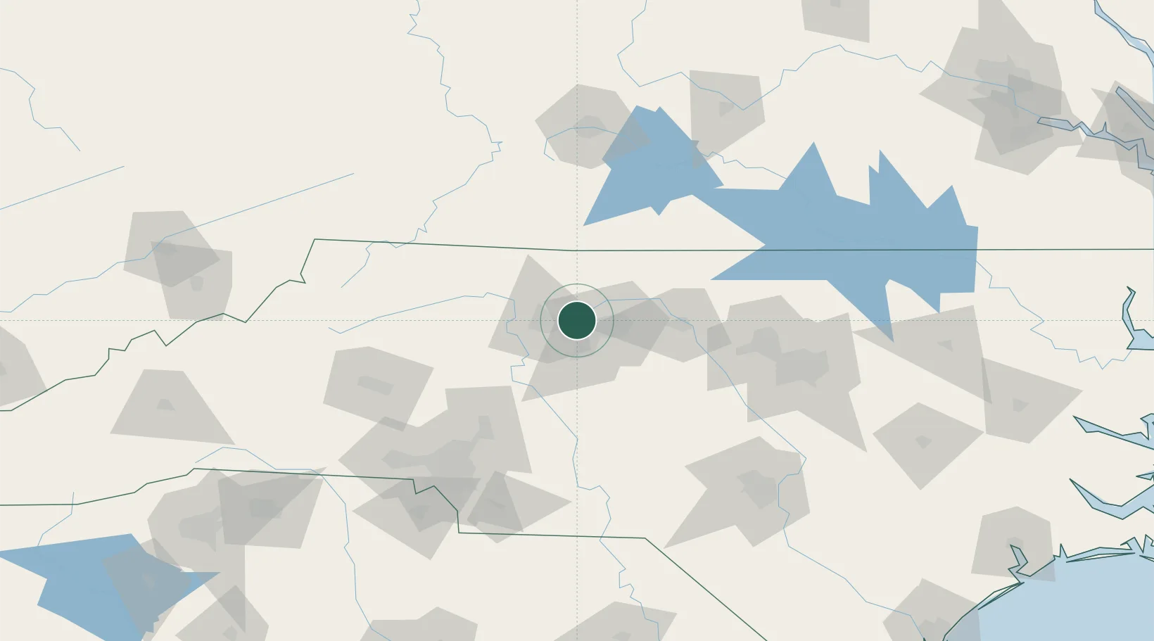
Kernersville
36.1167°, -80.0667°
23,811
Population
2
Transport functions
Transport Functions
Rail
Road
Hub Profile
Place type
Populated place
Region
North Carolina
Population
23,811
Time zone
America/New_York
Elevation
308 m
Location
Nearby Logistics Neighbours
Cities
- 1Colfax6 km
- 2Belews Creek13 km
- 3Summerfield18 km
- 4Jamestown19 km
- 5Trinity Park25 km
Ports
- 1Washington279 km
- 2Richmond284 km
- 3Wilmington284 km
- 4Wrightsville294 km
- 5New Bern295 km
Airports
Trade Zones
- 1FTZ No. 230 Piedmont Triad Area11 km
- 2FTZ No. 093 Raleigh Durham107 km
- 3FTZ No. 238 Dublin123 km
- 4FTZ No. 057 Mecklenburg County133 km
- 5FTZ No. 204 Tri-Cities214 km
DatabookThe Record of Consolidated Knowledge
United States beyond logistics?