Transport Functions
Rail
Road
Hub Profile
Place type
Populated place
Region
North Carolina
Time zone
America/New_York
Elevation
241 m
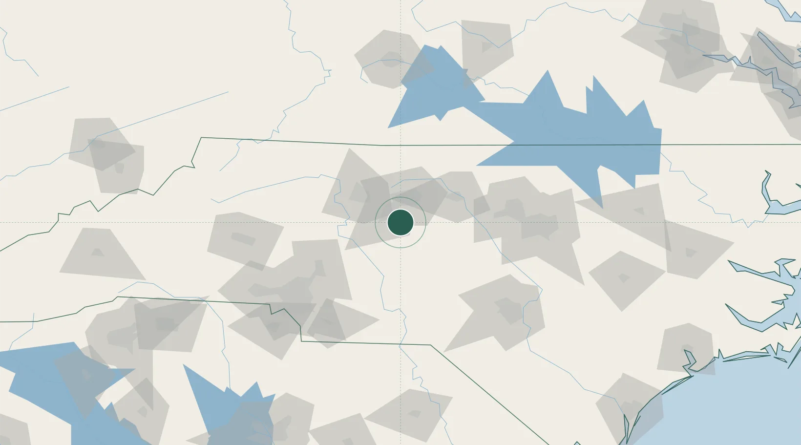
Location
Nearby Logistics Neighbours
Cities
- 1Trinity Park8 km
- 2Jamestown13 km
- 3Climax18 km
- 4Colfax27 km
- 5Welcome30 km
Ports
- 1Wilmington255 km
- 2Washington261 km
- 3Wrightsville265 km
- 4New Bern273 km
- 5Southport278 km
Airports
Trade Zones
- 1FTZ No. 230 Piedmont Triad Area42 km
- 2FTZ No. 093 Raleigh Durham91 km
- 3FTZ No. 057 Mecklenburg County125 km
- 4FTZ No. 238 Dublin154 km
- 5FTZ No. 214 Lenoir County197 km
DatabookThe Record of Consolidated Knowledge
United States beyond logistics?