UN/LOCODE hub · United States
USJAT
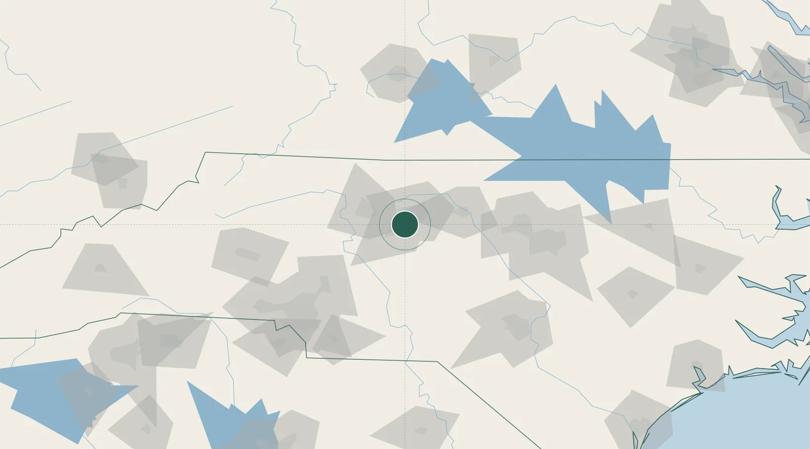
Jamestown
35.9833°, -79.9333°
3,737
Population
2
Transport functions
Transport Functions
Rail
Road
Hub Profile
Place type
Populated place
Region
North Carolina
Population
3,737
Time zone
America/New_York
Elevation
242 m
Location
Nearby Logistics Neighbours
Cities
- 1Trinity Park11 km
- 2Glenola13 km
- 3Colfax14 km
- 4Kernersville19 km
- 5Climax22 km
Ports
- 1Washington265 km
- 2Wilmington265 km
- 3Wrightsville275 km
- 4New Bern279 km
- 5Richmond283 km
Airports
Trade Zones
- 1FTZ No. 230 Piedmont Triad Area30 km
- 2FTZ No. 093 Raleigh Durham93 km
- 3FTZ No. 057 Mecklenburg County132 km
- 4FTZ No. 238 Dublin142 km
- 5FTZ No. 214 Lenoir County203 km
DatabookThe Record of Consolidated Knowledge
United States beyond logistics?