UN/LOCODE hub · United States
USUGT
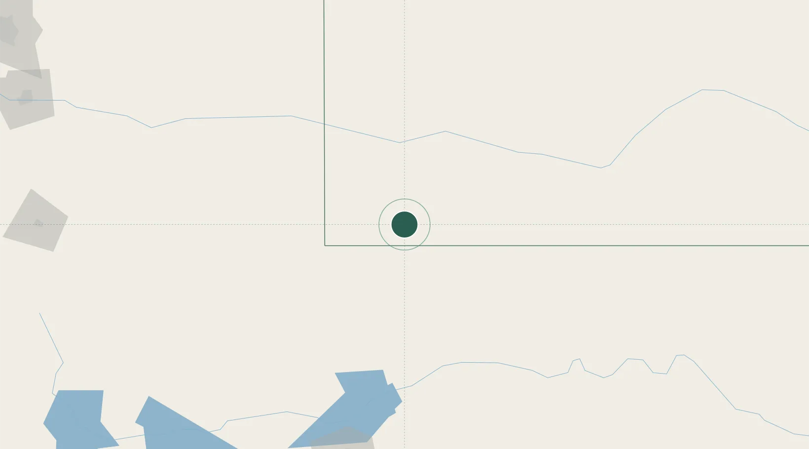
Hugoton
37.1833°, -101.3500°
3,964
Population
3
Transport functions
Transport Functions
Rail
Road
Multimodal
Hub Profile
Place type
Provincial seat
Region
Kansas
Population
3,964
Time zone
America/Chicago
Elevation
948 m
Location
Nearby Logistics Neighbours
Airports
Trade Zones
- 1FTZ No. 252 Amarillo225 km
- 2FTZ No. 293 Limon308 km
- 3FTZ No. 161 Sedgwick County322 km
- 4FTZ No. 112 Colorado Springs355 km
- 5FTZ No. 106 Oklahoma City392 km
DatabookThe Record of Consolidated Knowledge
United States beyond logistics?