Medium airport · United States

Dalhart Municipal AirportKDHT

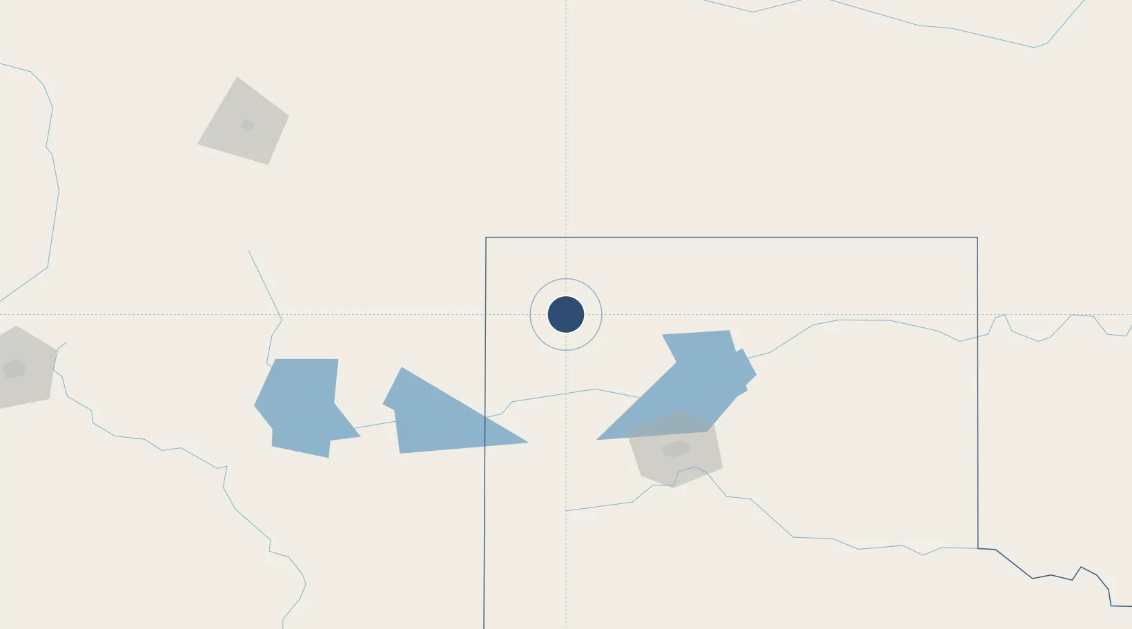
36.0226°, -102.5470°
6,400 ft
Longest runway
2
Runways
3,991 ft
Elevation

Runway & Layout

Dalhart Municipal Airport runway & taxiway layout
Runway & taxiway layout — OpenStreetMap (ODbL) / OurAirports

Radio Frequencies

ASOS
134.075 MHz
CNTR
127.85 MHz
ALBUQUERQUE CNTR
RDO
122.2 MHz
FORT WORTH RDO
UNIC
122.95 MHz
CTAF/UNICOM
OurAirports

Runways · 2

RunwayDimensions SurfaceTrue headingLit
17/35 6,400 × 75ft Asphalt 180°
03/21 5,440 × 75ft Asphalt 045°
OurAirports

Airport Specifications

IATA code
DHT
OurAirports
ICAO code
KDHT
OurAirports
Airport class
Medium airport
OurAirports
Scheduled service
No
OurAirports
Runway surface
Asphalt
OurAirports
Served city
Dalhart
OurAirports

Location

Location of KDHT
Natural Earth 10m (public domain) · Texas · KDHT · 36.02, -102.55GoogleOSMYandex

Nearby Logistics Neighbours

Airports
  1. 1Rick Husband Amarillo International Airport117 km
  2. 2Guymon Municipal Airport119 km
  3. 3Tucumcari Municipal Airport134 km
  4. 4Liberal Mid-America Regional Airport182 km
  5. 5Clovis Municipal Airport184 km
Nearest neighbours — logibook spatial index (haversine) over the source coordinates
Cities
  1. 1Etter51 km
  2. 2Cactus (Moore County)57 km
  3. 3Felt64 km
  4. 4Sunray66 km
  5. 5Borger112 km
Nearest neighbours — logibook spatial index (haversine) over the source coordinates
Ports
  1. 1Deer Park969 km
  2. 2Houston972 km
  3. 3Pasadena979 km
  4. 4Baytown991 km
  5. 5Port Lavaca994 km
Nearest neighbours — logibook spatial index (haversine) over the source coordinates
Trade Zones
  1. 1FTZ No. 252 Amarillo110 km
  2. 2FTZ No. 260 Lubbock275 km
  3. 3FTZ No. 261 Alexandria275 km
  4. 4FTZ No. 112 Colorado Springs372 km
  5. 5FTZ No. 293 Limon374 km
Nearest neighbours — logibook spatial index (haversine) over the source coordinates
DatabookThe Record of Consolidated Knowledge
United States beyond logistics?
Browse databook

All Sources

AirportsOurAirports
Public domain
Portsthe NGA World Port Index
Public domain (US gov)
LocationsUN/LOCODE
UN/LOCODE — free
Trade Zonesthe World Bank SEZ database
CC BY 4.0
Trade ZonesOpen Zone Map
CC BY
InfrastructureOpenStreetMap
ODbL 1.0
← United States airports