UN/LOCODE hub · United States
USVXQ
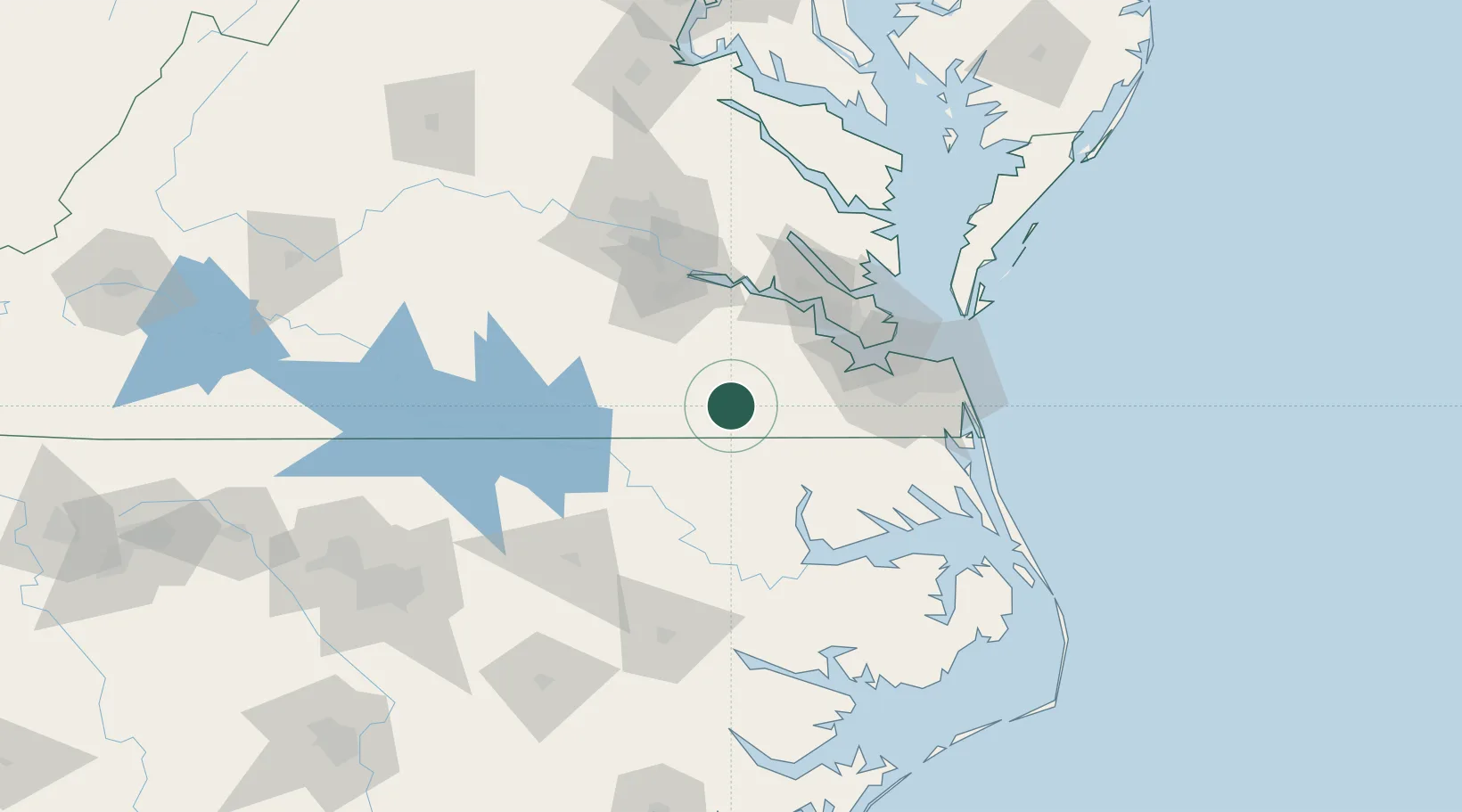
Courtland
36.7000°, -77.0667°
1,246
Population
1
Transport functions
Transport Functions
Multimodal
Hub Profile
Place type
Provincial seat
Region
Virginia
Population
1,246
Time zone
America/New_York
Elevation
7 m
Location
Nearby Logistics Neighbours
Cities
- 1Boykins18 km
- 2Statesville19 km
- 3Pendleton29 km
- 4Palmyra43 km
- 5Skippers44 km
Ports
- 1Newport News64 km
- 2Portsmouth70 km
- 3Norfolk70 km
- 4Yorktown78 km
- 5Hertford79 km
Airports
Trade Zones
- 1FTZ No. 020 Suffolk50 km
- 2FTZ No. 207 Richmond102 km
- 3FTZ No. 214 Lenoir County181 km
- 4FTZ No. 093 Raleigh Durham187 km
- 5FTZ No. 185 Culpeper County219 km
DatabookThe Record of Consolidated Knowledge
United States beyond logistics?