Transport Functions
Multimodal
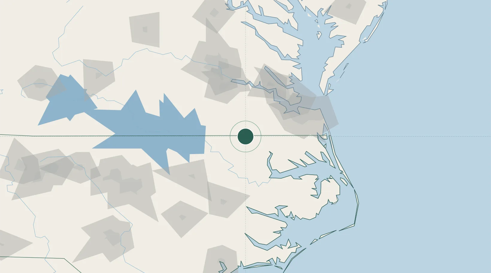
Hub Profile
Place type
Populated place
Region
Virginia
Time zone
America/New_York
Elevation
23 m
Location
Nearby Logistics Neighbours
Cities
- 1Boykins13 km
- 2Pendleton14 km
- 3Courtland19 km
- 4Rich Square35 km
- 5Skippers44 km
Ports
- 1Hertford66 km
- 2Edenton67 km
- 3Newport News74 km
- 4Portsmouth75 km
- 5Norfolk77 km
Airports
Trade Zones
- 1FTZ No. 020 Suffolk61 km
- 2FTZ No. 207 Richmond119 km
- 3FTZ No. 214 Lenoir County164 km
- 4FTZ No. 093 Raleigh Durham179 km
- 5FTZ No. 185 Culpeper County236 km
DatabookThe Record of Consolidated Knowledge
United States beyond logistics?